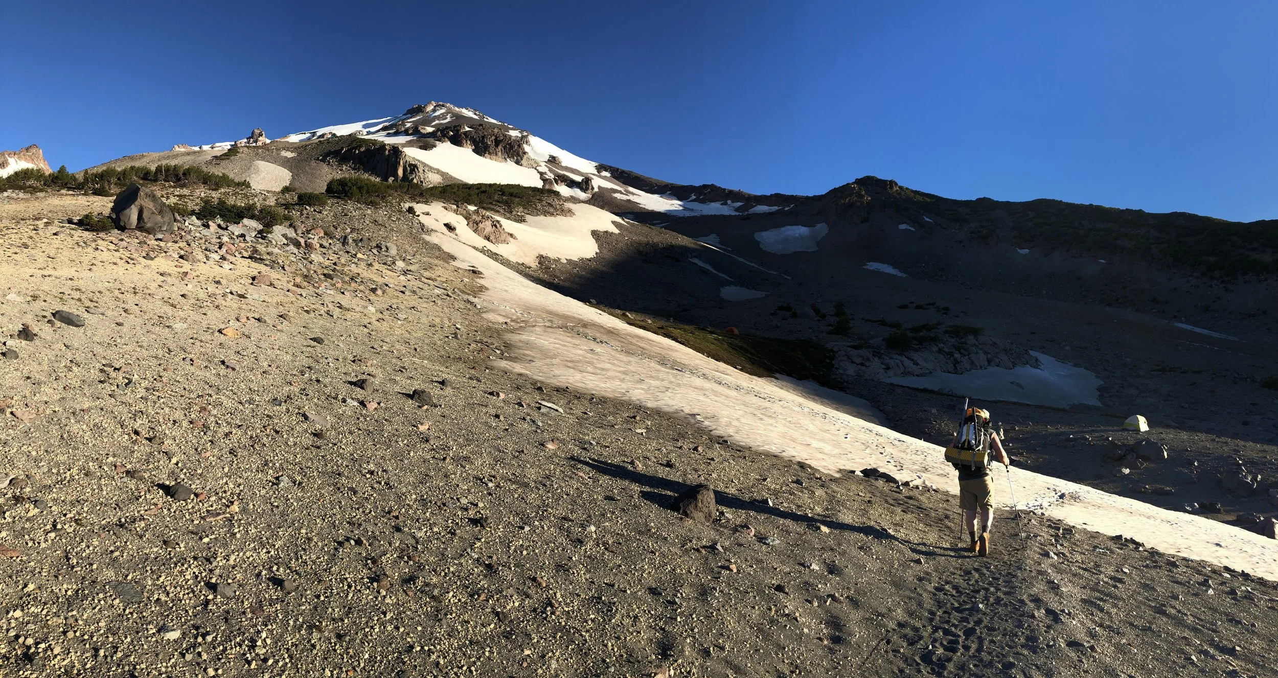
At 14,179 feet, Mt. Shasta is the second tallest volcano in the Cascades and the most prominent peak in Northern California. Shasta's natural beauty, height, remoteness from major population centers, and connection to New Age lore make it an appealing climbing destination. On June 22-23, 2018 our five-member team attempted the Clear Creek route on Shasta's southeast side.
Click here and here to view more photos from the trip.
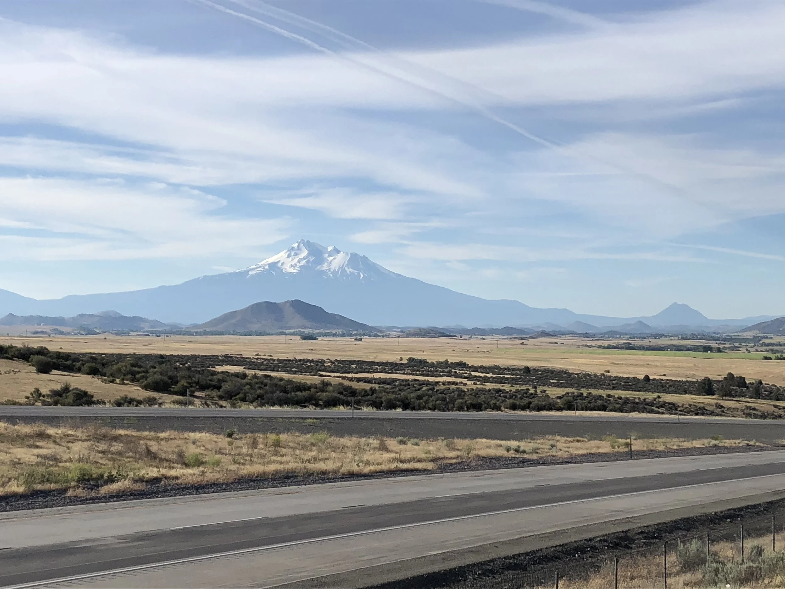
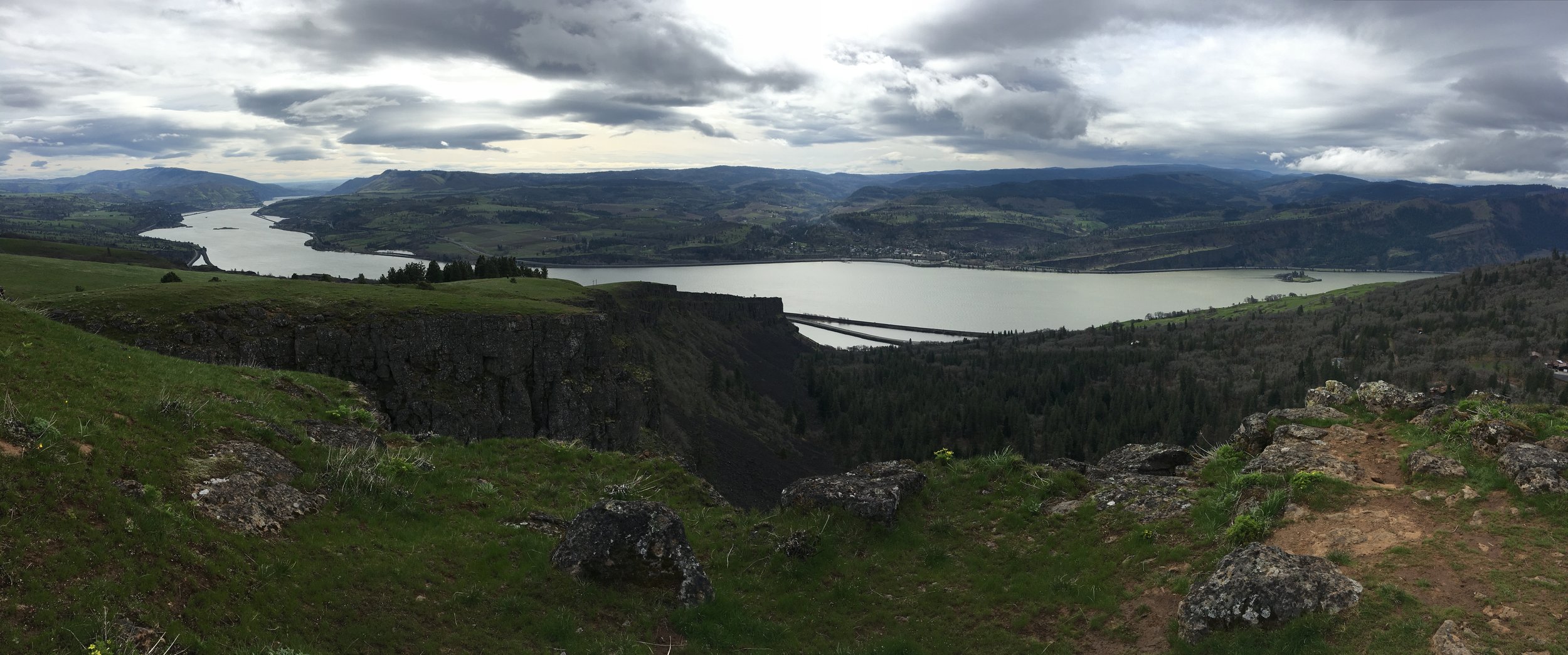
Mt. Shasta from a viewpoint off I-5 in Northern California.
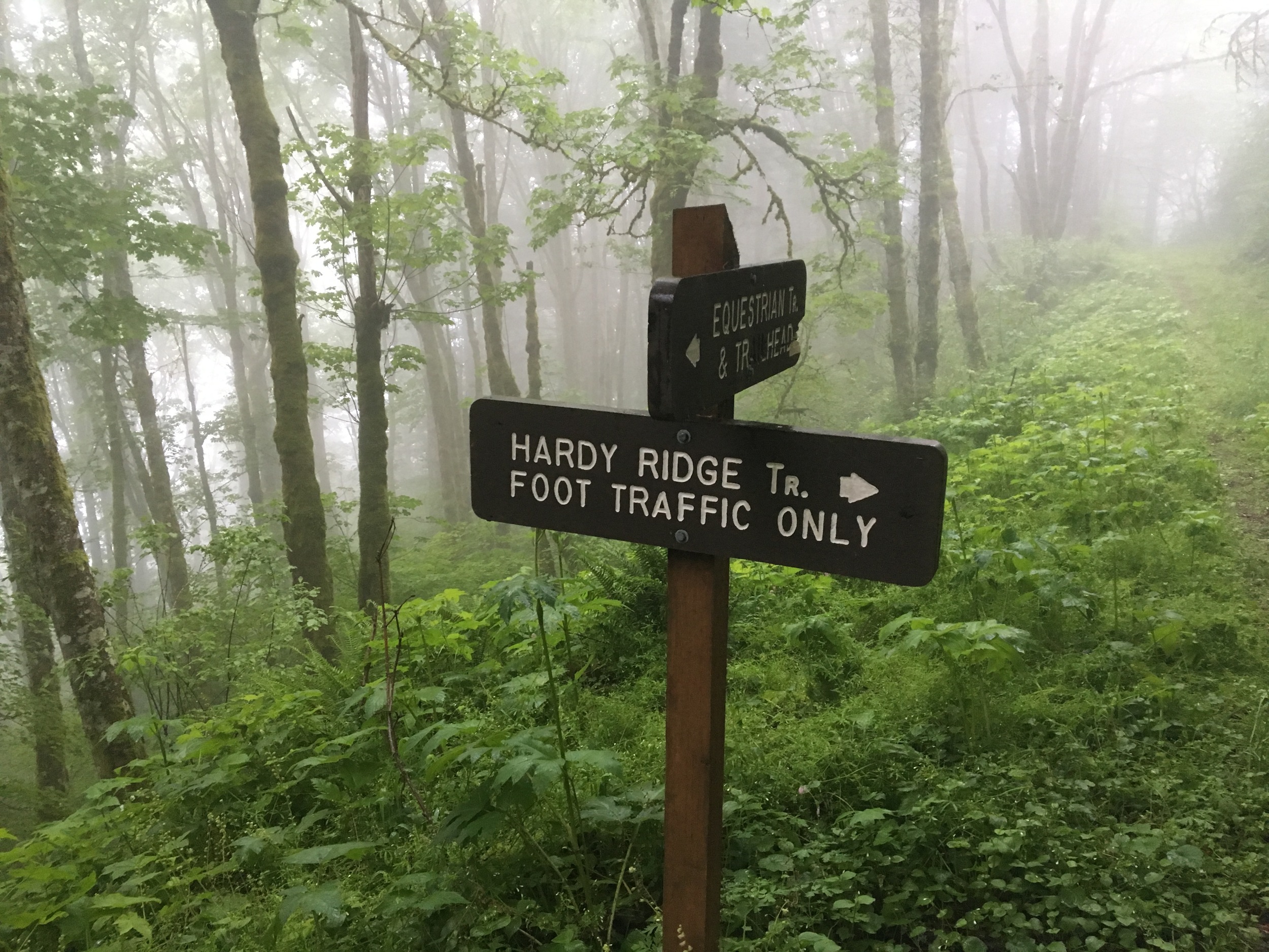
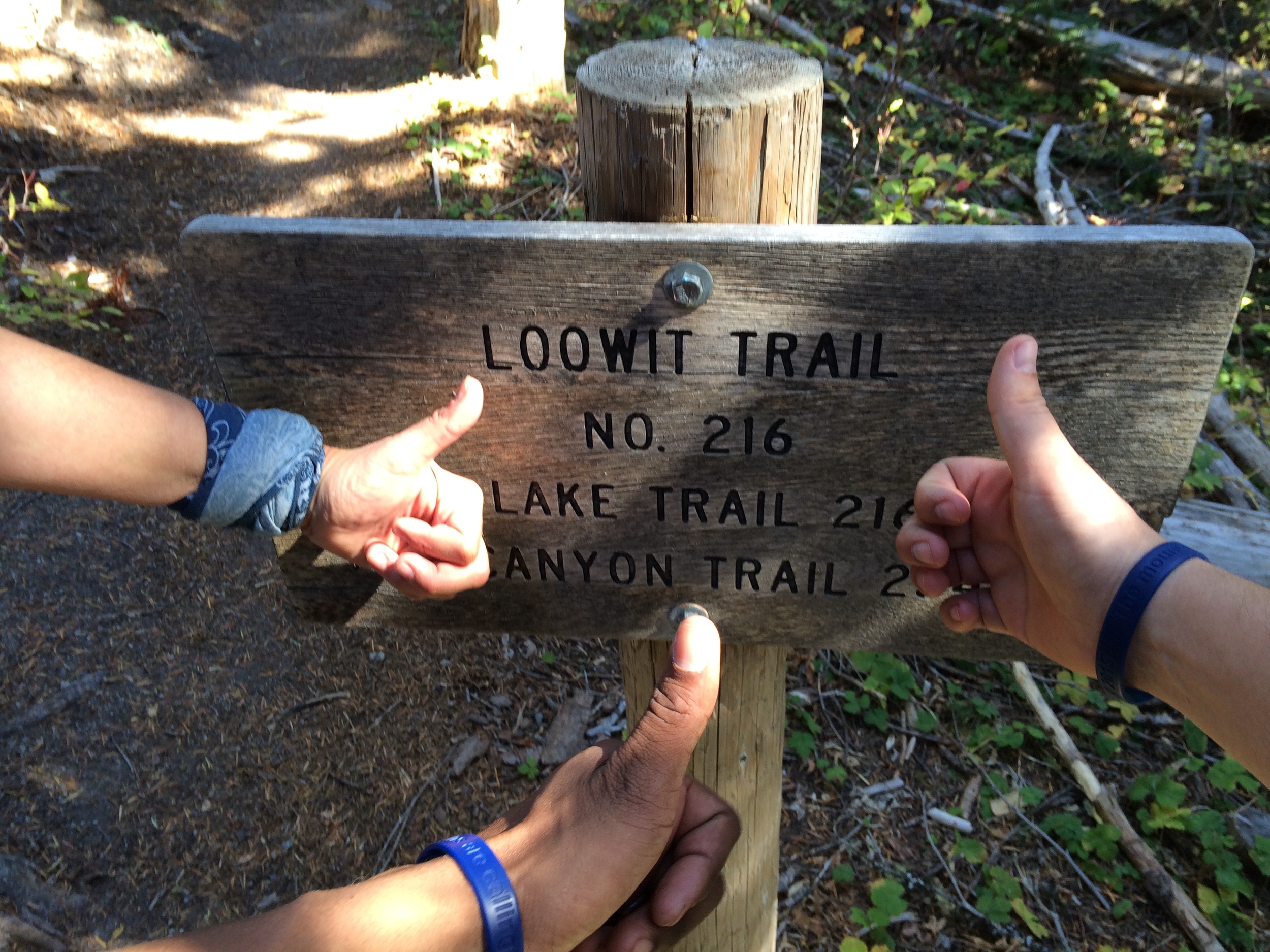
After rendezvousing at the original Black Bear Diner in Mt. Shasta on June 22, we paid for permits at the Mount Shasta Ranger Station and drove to the trailhead. Clear Creek is technically the "easiest" route on the mountain. But a long, bumpy approach up a Forest Service road to the trailhead and scree-covered slopes higher on the mountain push most to the Avalanche Gulch route on the south side.

The Pentaquest team preparing to leave the trailhead.
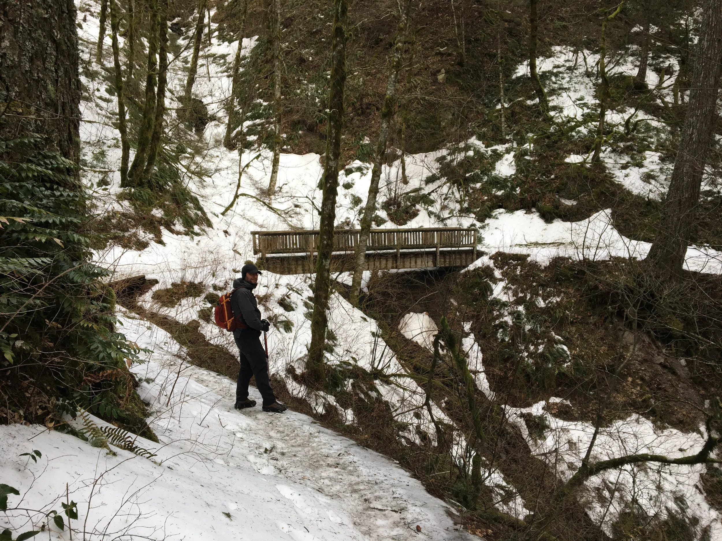
Miraculously our three vehicles survived the rough ride through the woods and we started hiking to high camp around noon. At this point everything seemed perfect with thunderstorm-free skies and a light breeze. We deliberately hiked at a slow pace to help acclimatize and gradually made our way up the trail to the treeline.

Stopping for a drink at a natural spring.
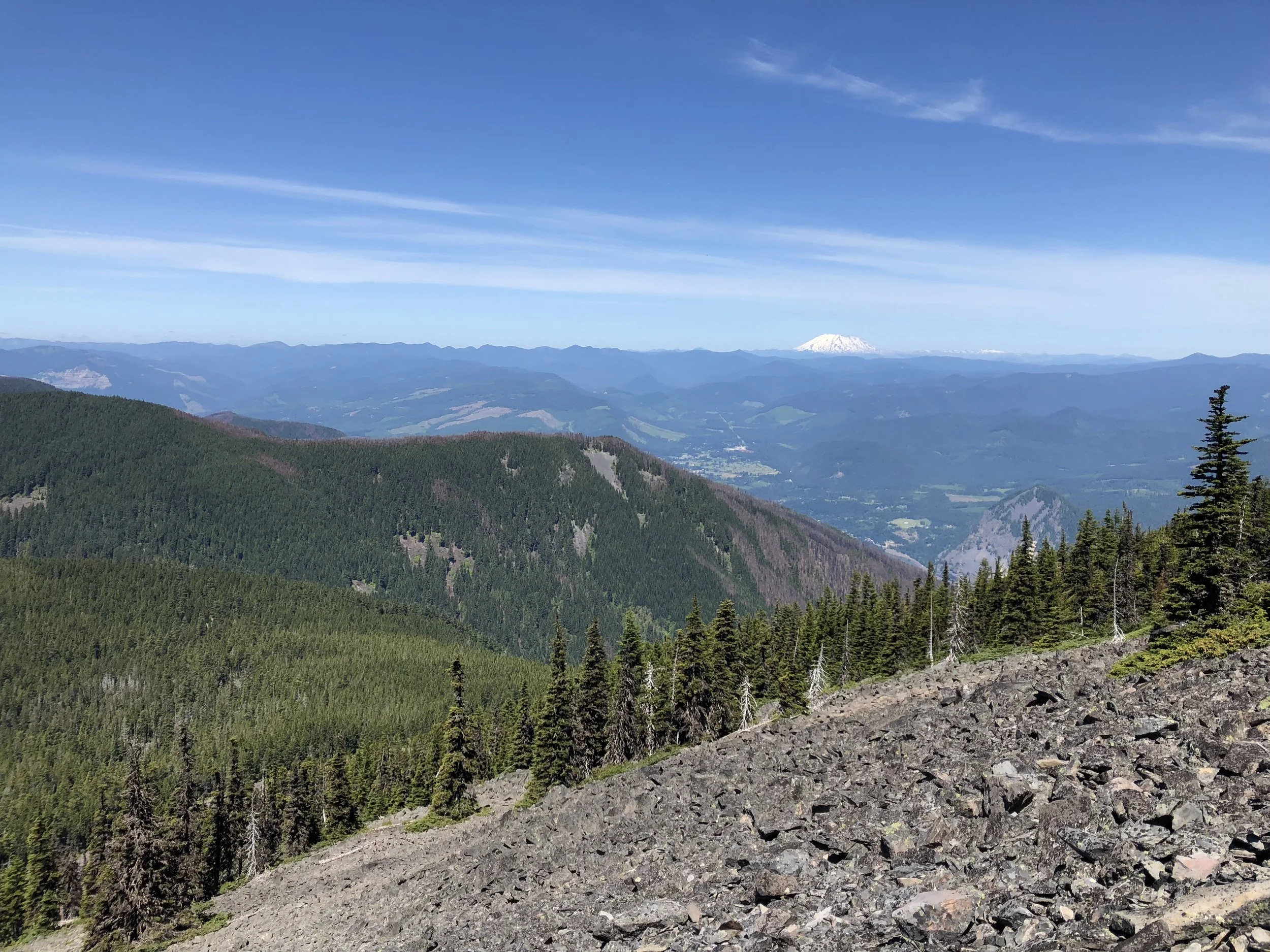
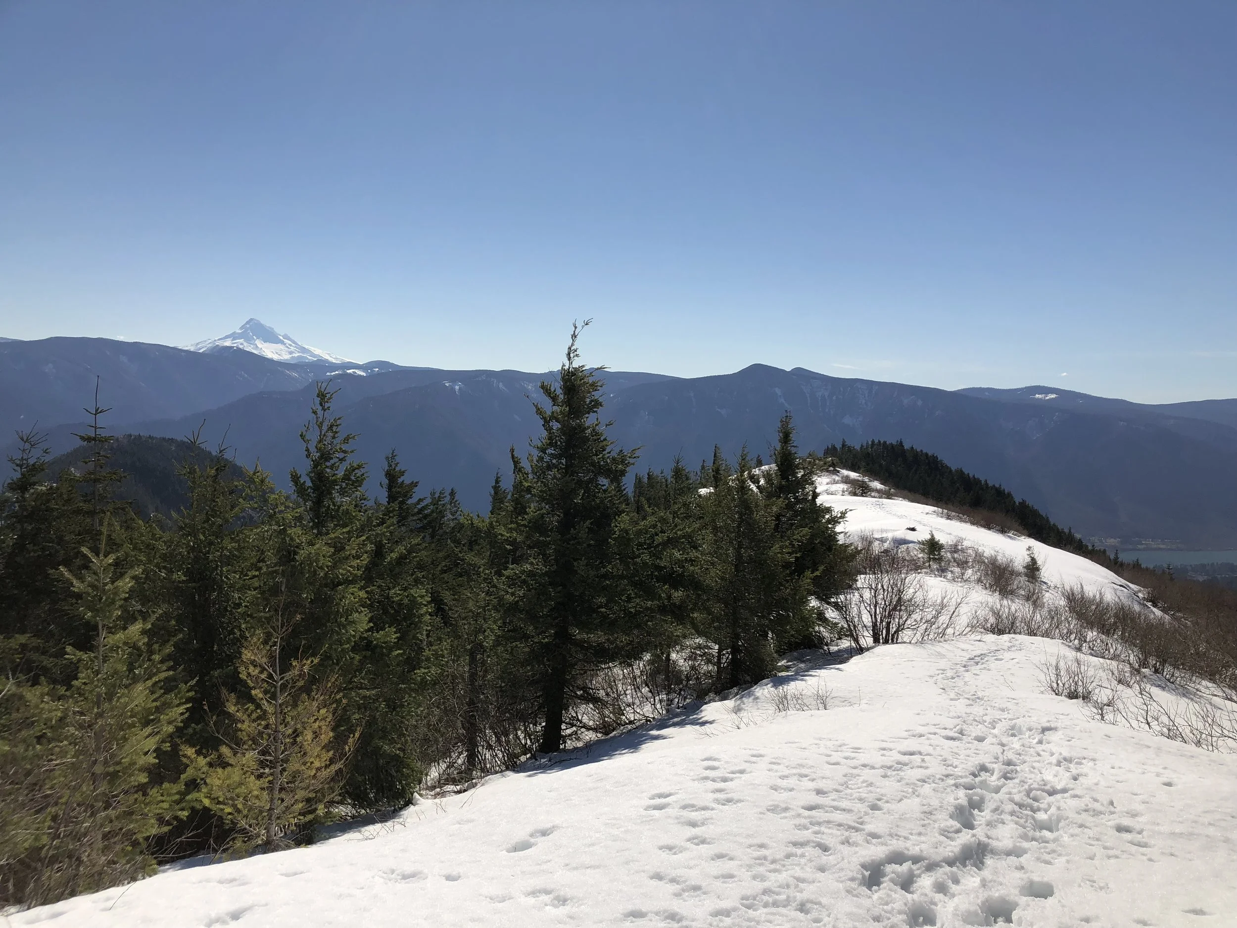
In the distance, volcanic Mt. Lassen and the Central Valley's north end appeared to the south. By 3pm we reached an area known as Clear Creek Meadows with running water and several established places to bivouac. Rather than climb higher, we decided to set up our camp for the evening near a water source and within a hardy copse of alpine trees.

Near Clear Creek Meadows.
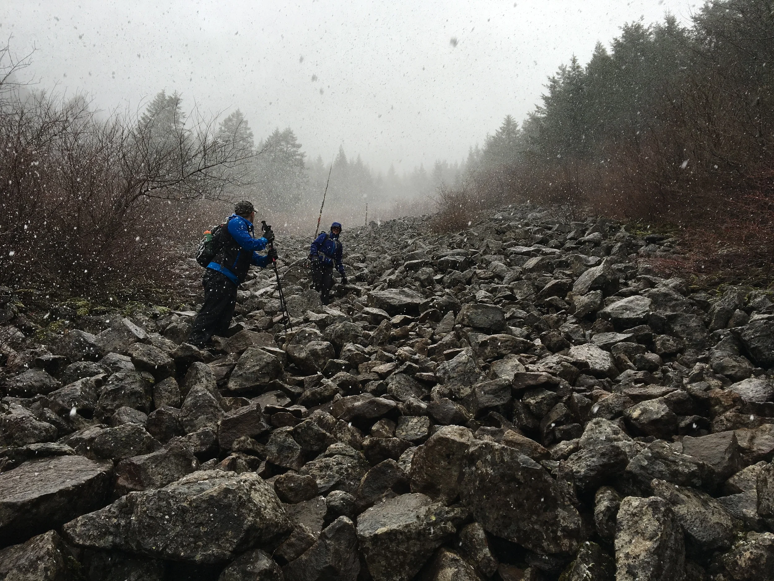
As we unloaded our packs, we still intended to make a summit bid around 2am after catching a few hours sleep. A Mazama team with a dozen climbers came by a half hour later and informed us the weather forecast now called for high winds (50-60 mph) overnight and into the next day. After confirming this on our cell phones, we held a team discussion and reached consensus to not climb any higher unless the forecast changed. By 7pm the situation remained the same. Rather than risk turning around in a potentially precarious spot high on the mountain during our night ascent, we decided to hike out first thing in the morning. Although not the adventure we intended, we enjoyed our remaining time at camp by gazing at the mountain, drinking the few beers we brought in our packs, and relaxing.

The sun setting behind Mt. Shasta.
Something strange happened at the campsite in the evening that social media and the internet have yet to explain to us. Throughout the day we noticed a military helicopter flying around Shasta performing what seemed to be search-and-rescue maneuvers. Around 9 or 10pm, the helicopter landed or hovered just off the ground about two hundred yards from our campsite at Clear Creek Meadows. It's unclear if someone hopped on the helicopter or not. There's likely a simple explanation for this, but we're still looking for the answer. There doesn't seem to be any news coverage about a rescue at this time.

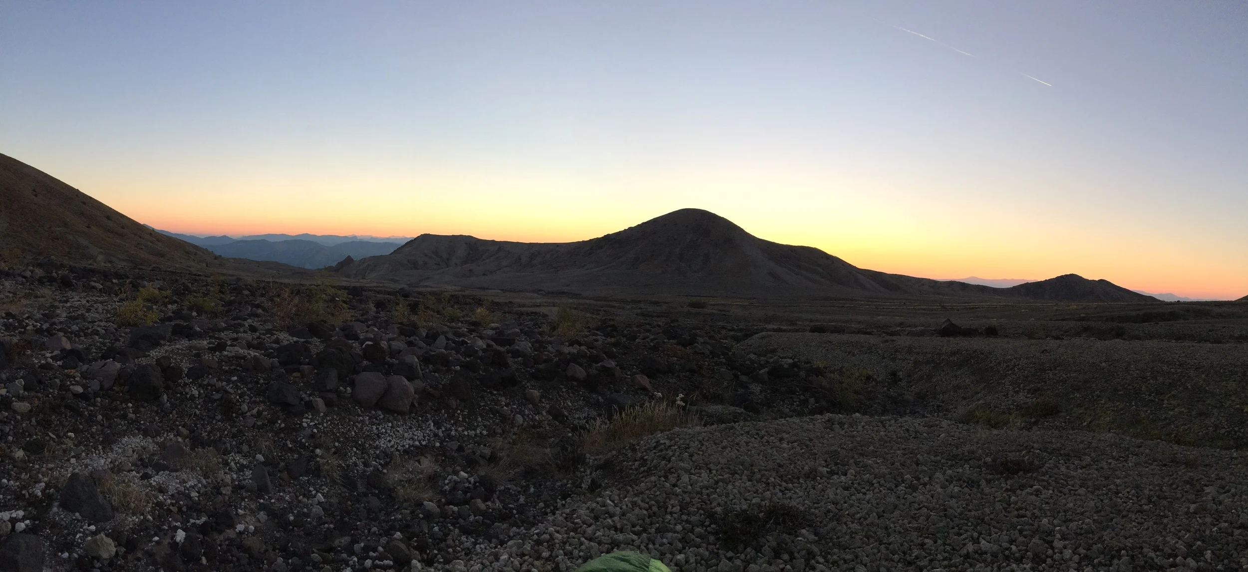
Sunrise from Clear Creek Meadows.
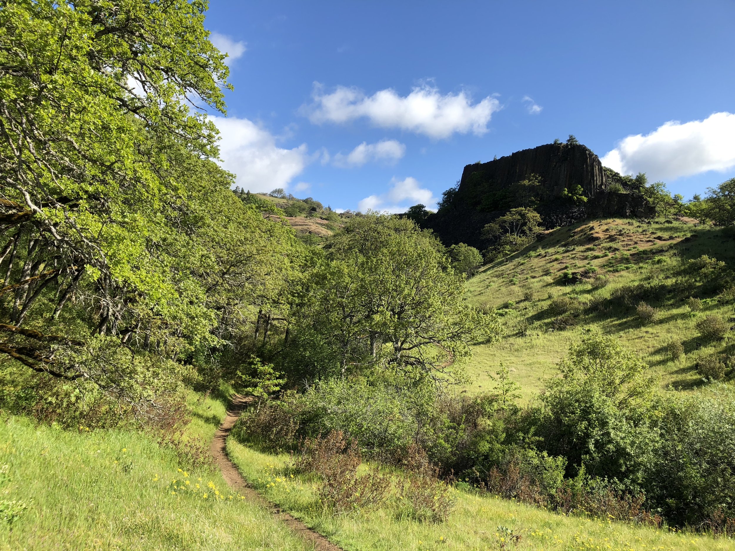
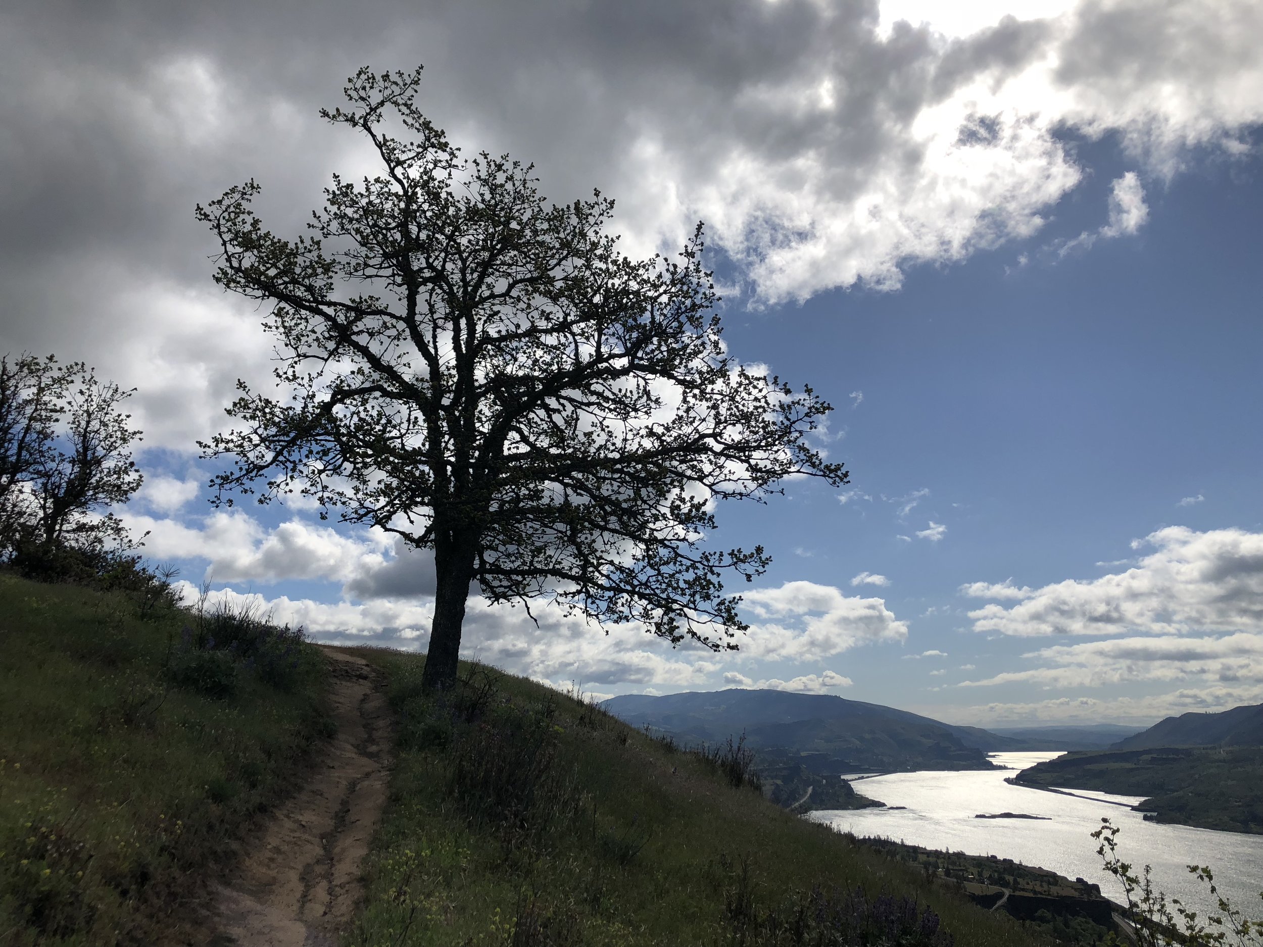
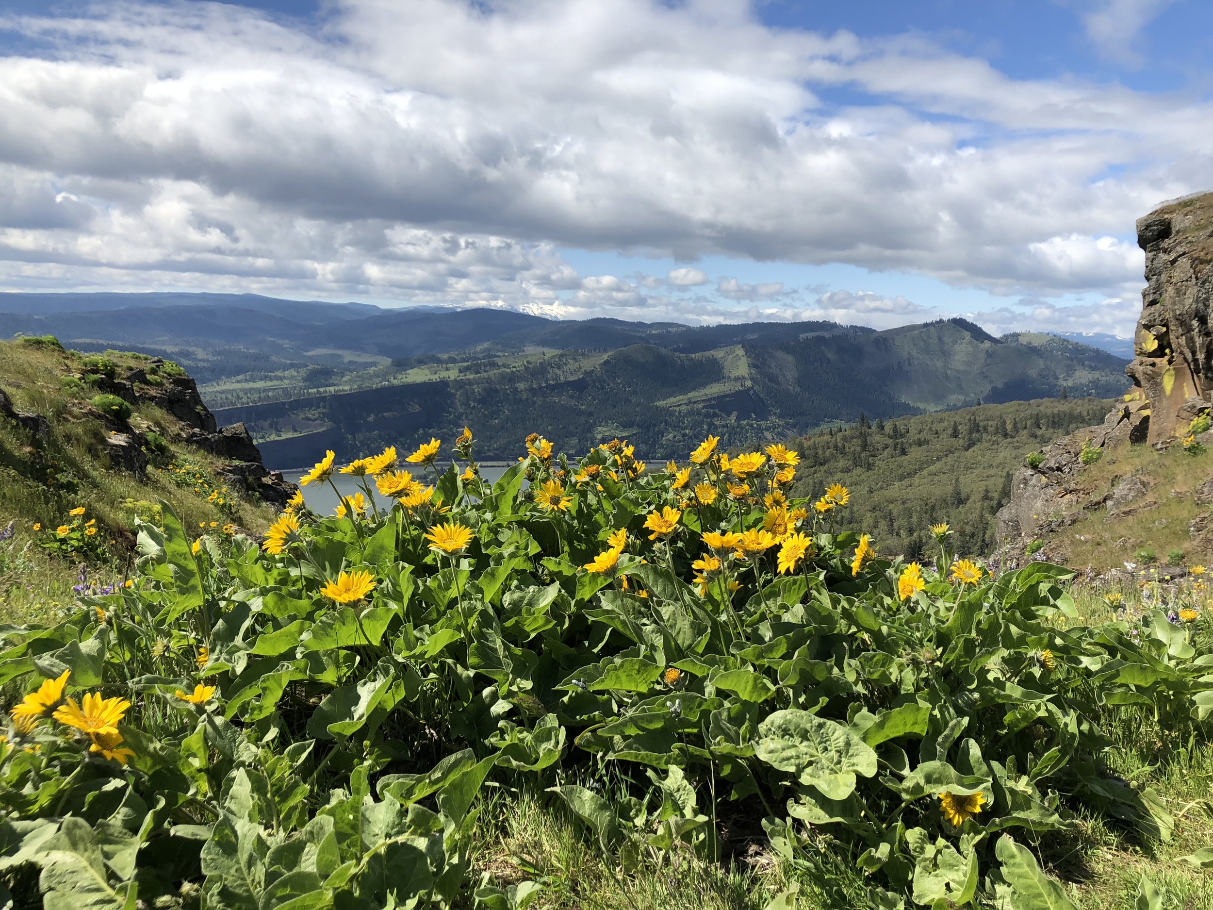
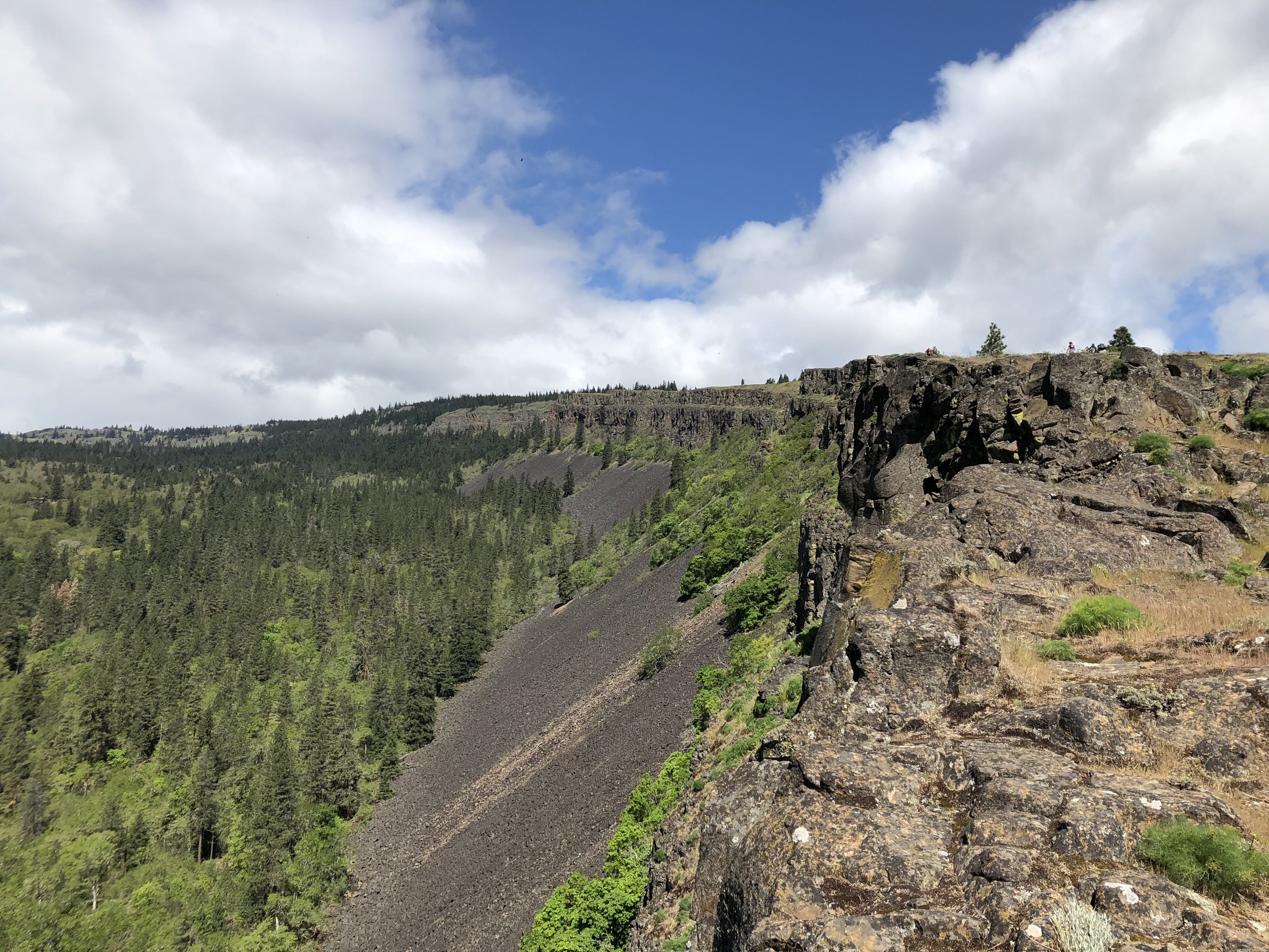
The next morning we quickly packed up camp after sunrise and left around 6:30am for the trailhead. We raced down the trail motivated by another hot breakfast at the Black Bear Diner in Mount Shasta. After carefully driving down the Forest Service road, we rejoined civilization and returned to our same table at the restaurant. Later in the day, we drove north and camped at Valley of the Rogue State Park between Grants Pass and Medford.
Key takeaways:
- Always climb with people that care more about adventure and a good time than peakbagging. This groups seemed unfazed by the decision to abandon the summit attempt.
- Think twice before taking a Toyota Camry on a Forest Service road.
- Collapsible camp chairs are heavy, but worth the weight on a backpacking trip.
- Black Bear Diners are awesome!