
The Mount St. Helens team getting ready to head out from Marble Mountain Sno Park on June 22.
Returning to camp on July 18 after summiting North Sister with South and Middle Sister in the background.
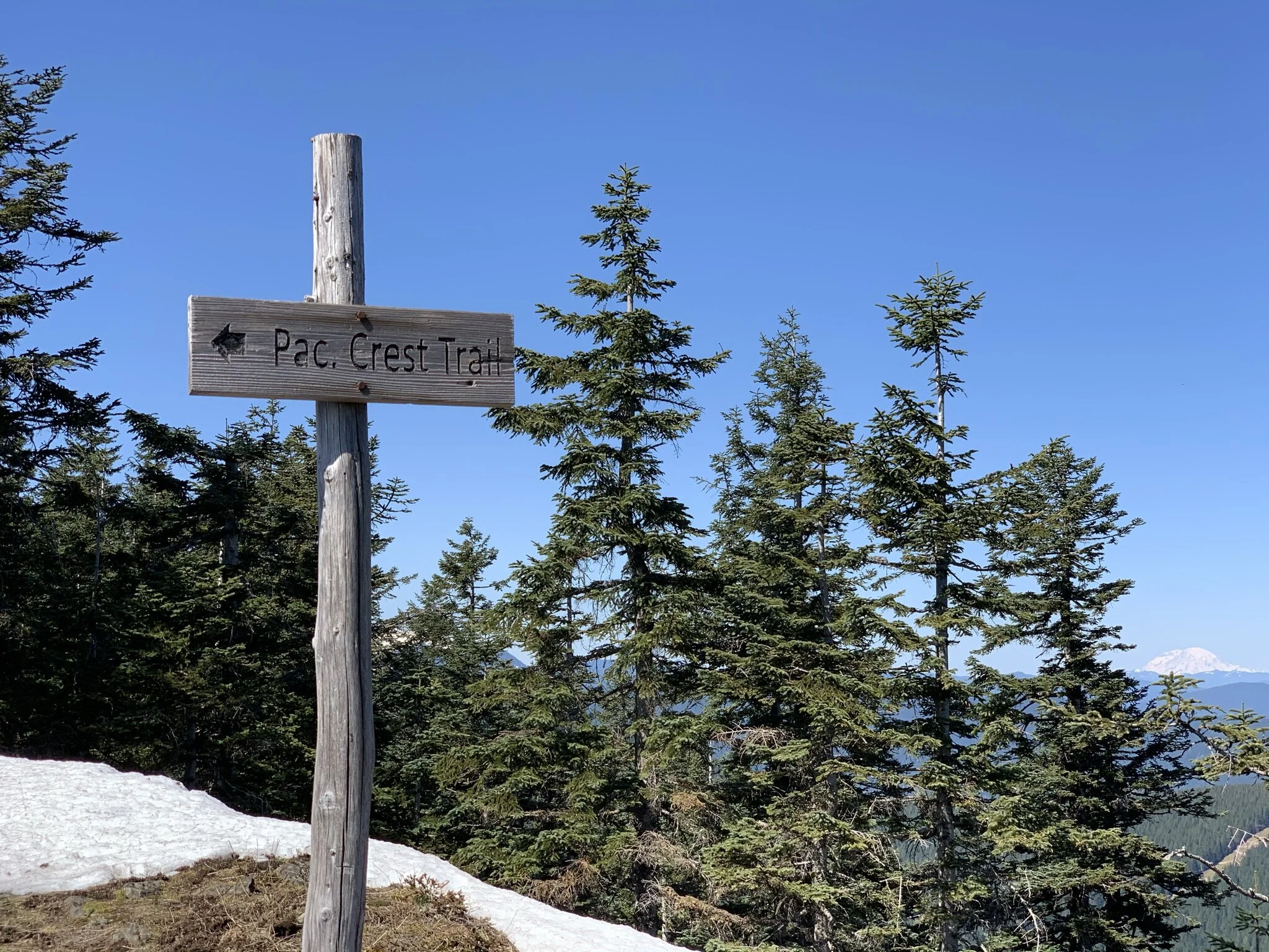
Blog

The Mount St. Helens team getting ready to head out from Marble Mountain Sno Park on June 22.

Returning to camp on July 18 after summiting North Sister with South and Middle Sister in the background.
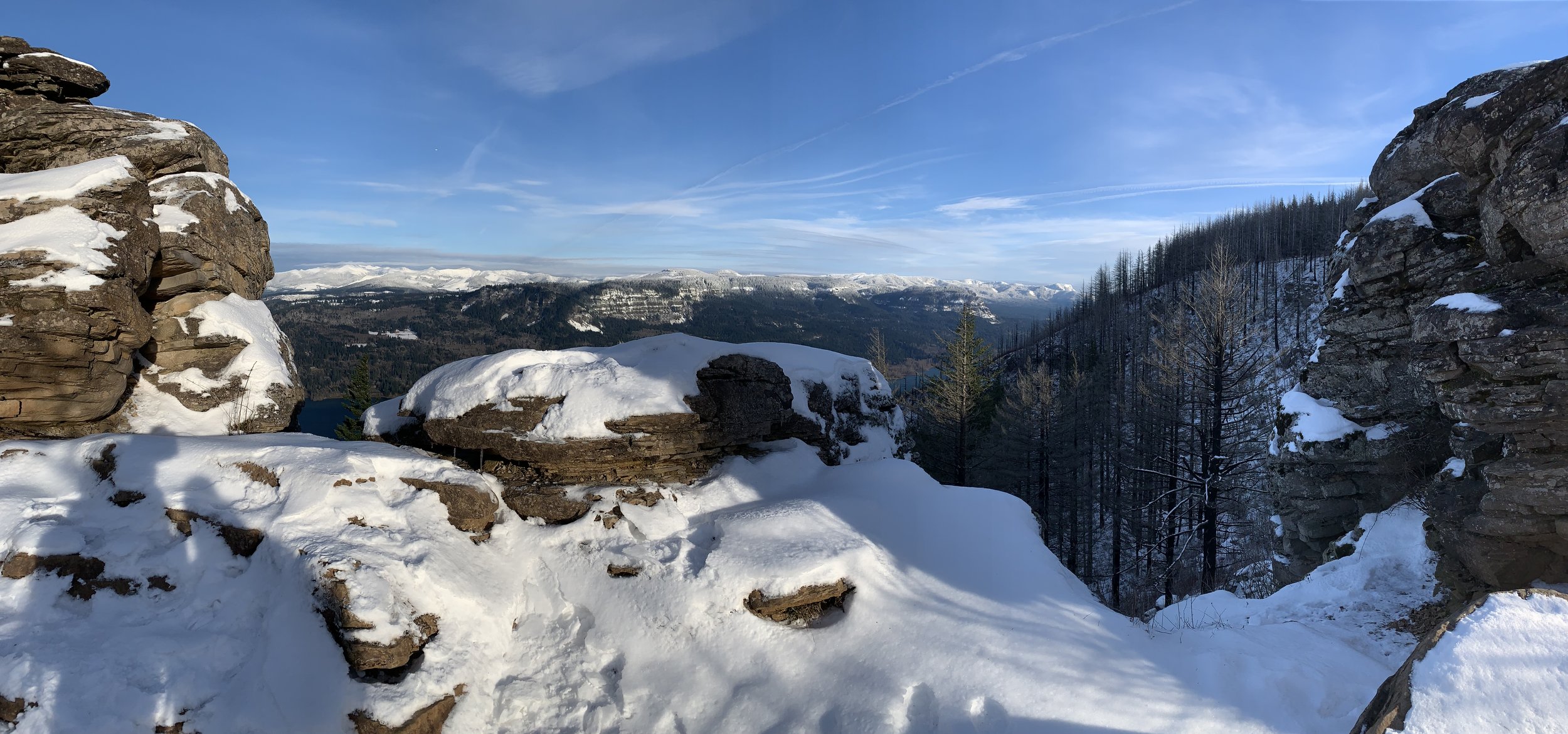
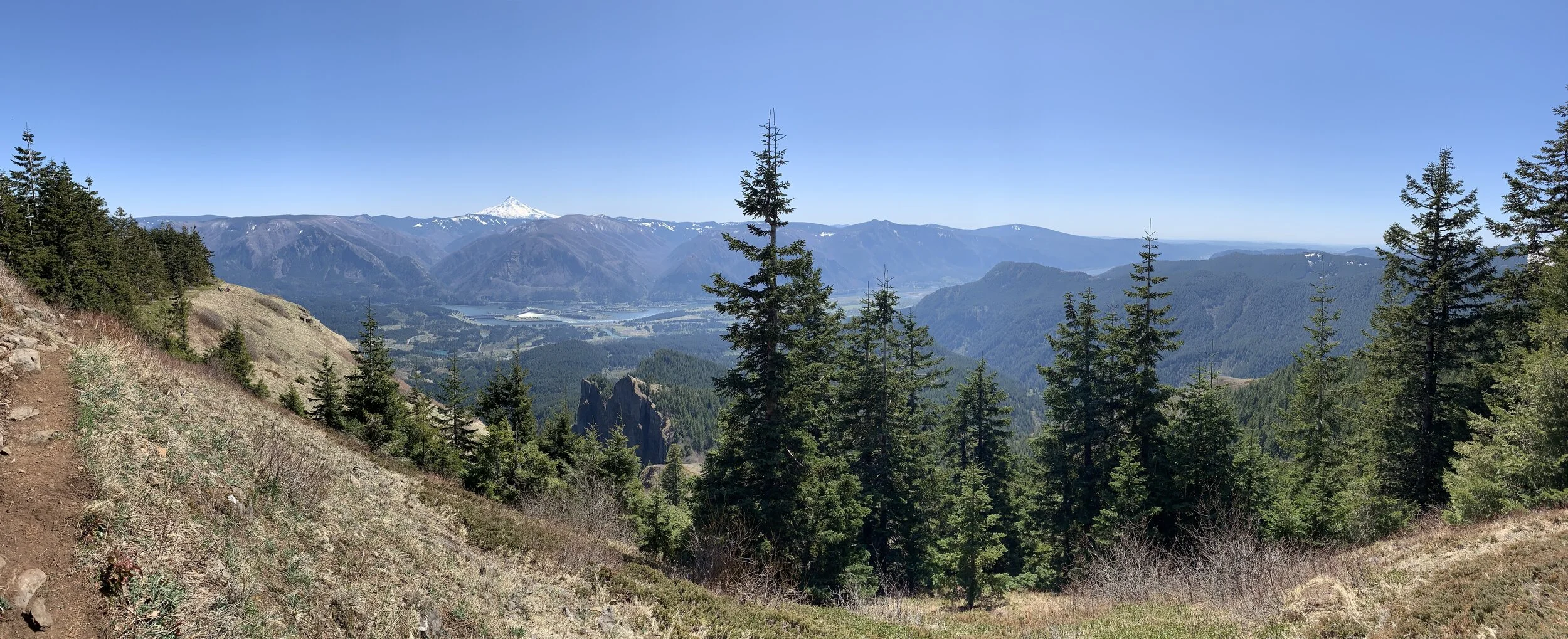
Spring in the Columbia Gorge is a great time to hit the trail and train for summer’s bigger summits and backpacking trips.
Here are photos from the last two months:
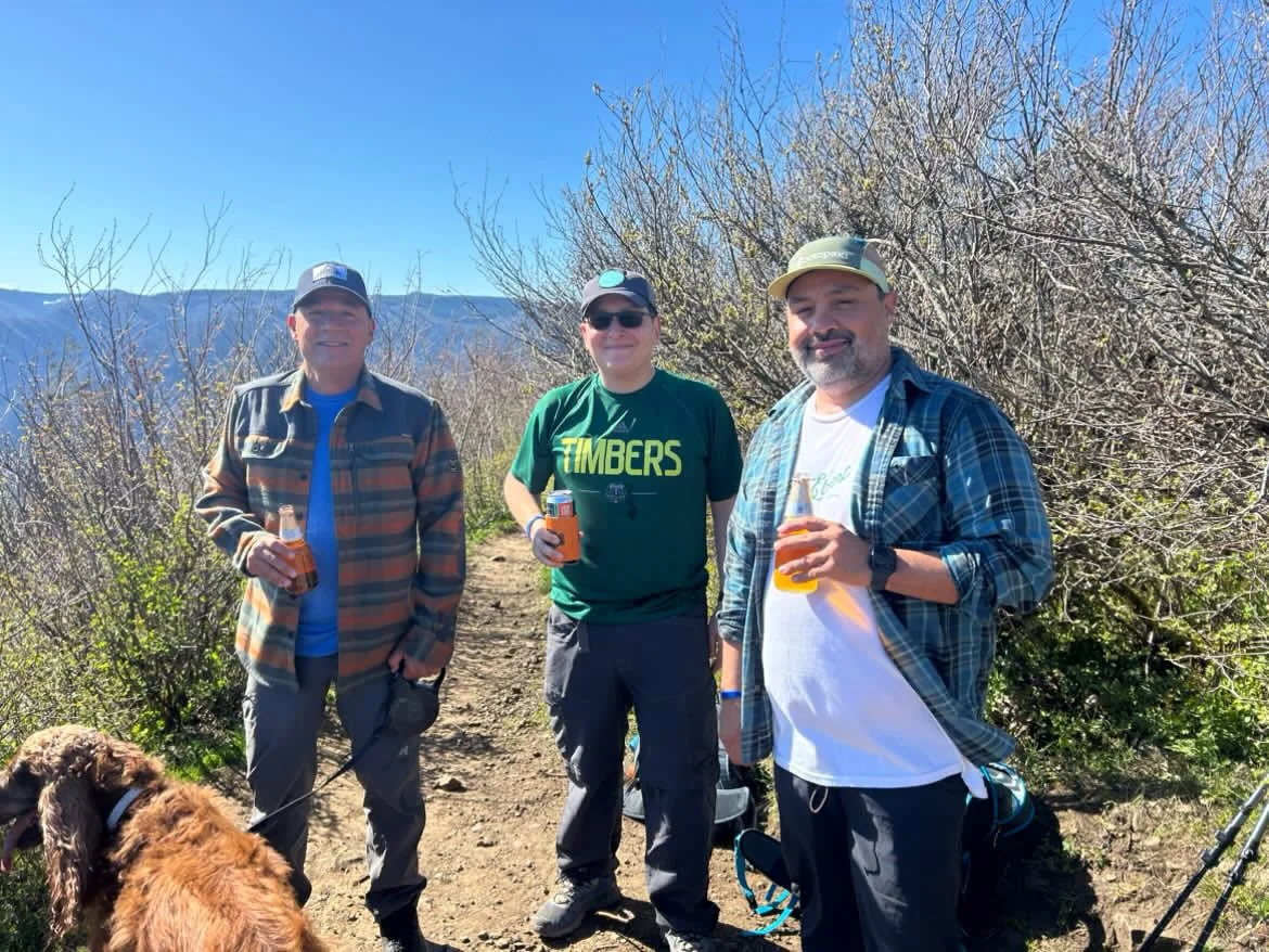
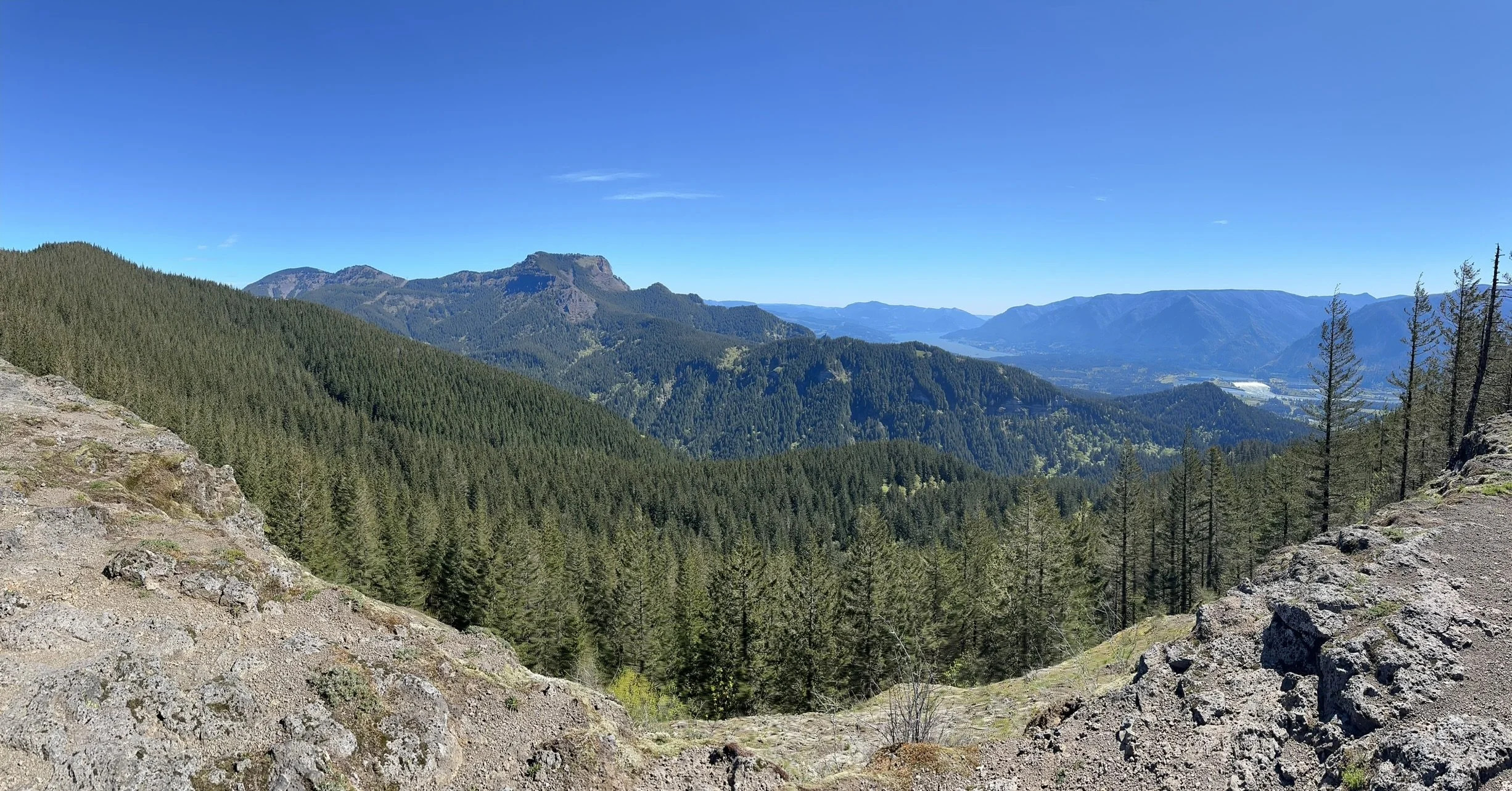
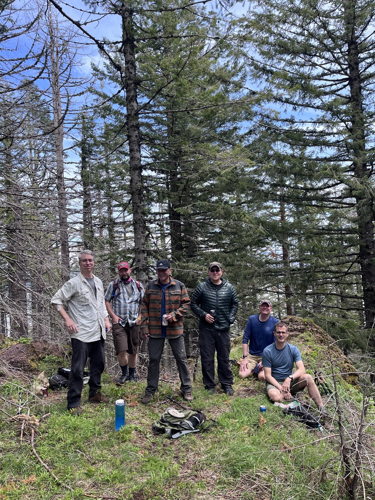
The Pentaquest team on Hamilton Mountain in April.

The Pentaquest team on Hardy Ridge in June.
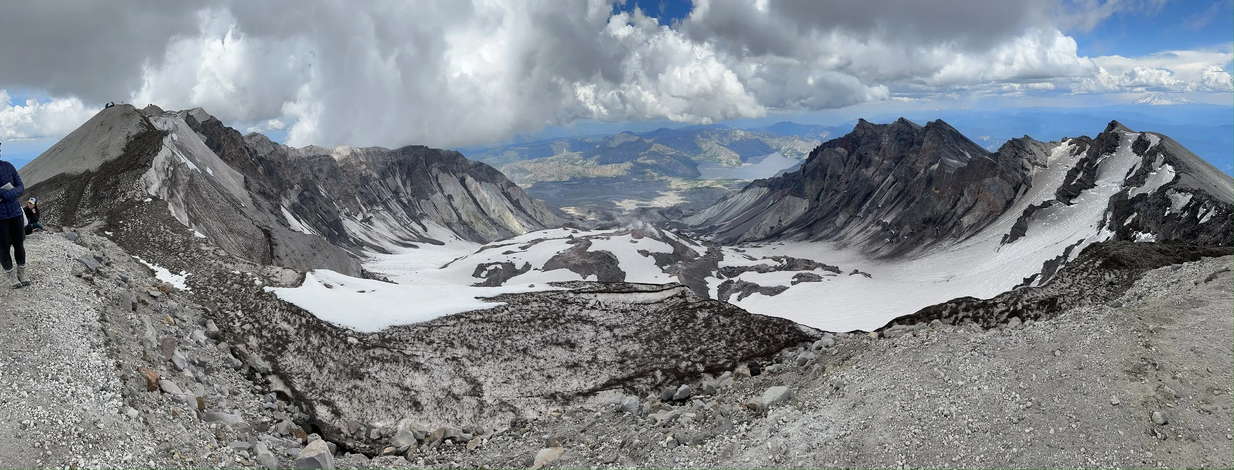
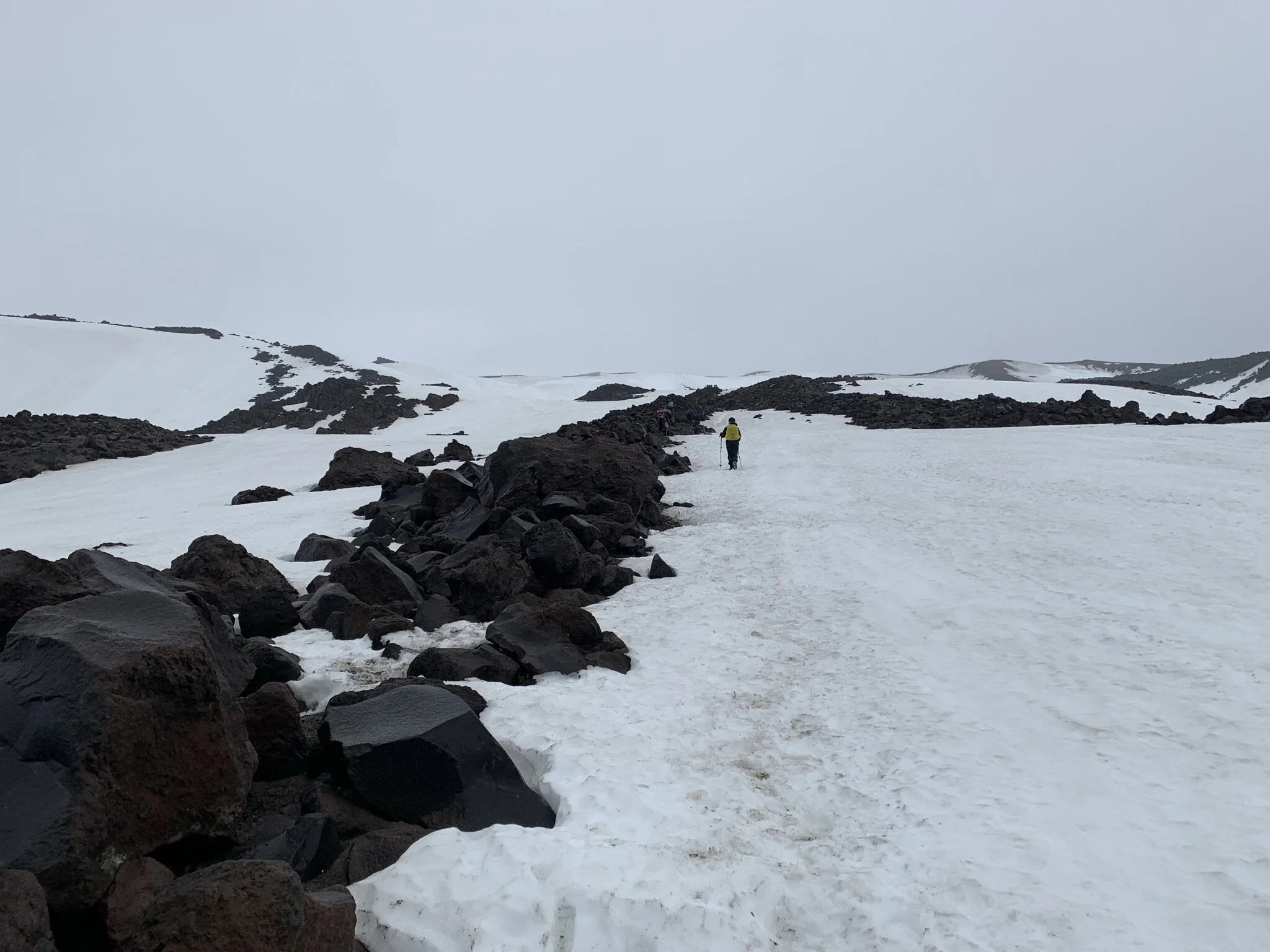
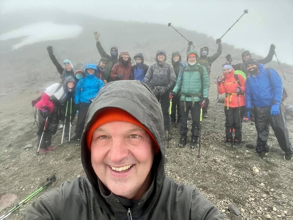
The Pentaquest team safely climbed Mount St. Helens on June 23, 2023 up the Worm Flows (winter) route from Marble Mountain Sno Park. All 12 in the group successfully reached the summit. After a few rough trips to the mountain over the past two years due to bad weather, reaching the summit felt especially rewarding.
Click here for photos from the climb.

Two-thirds of the team at the crater rim.
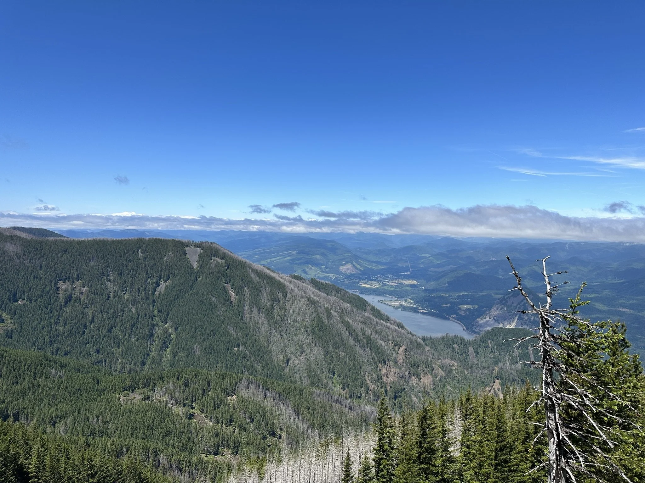
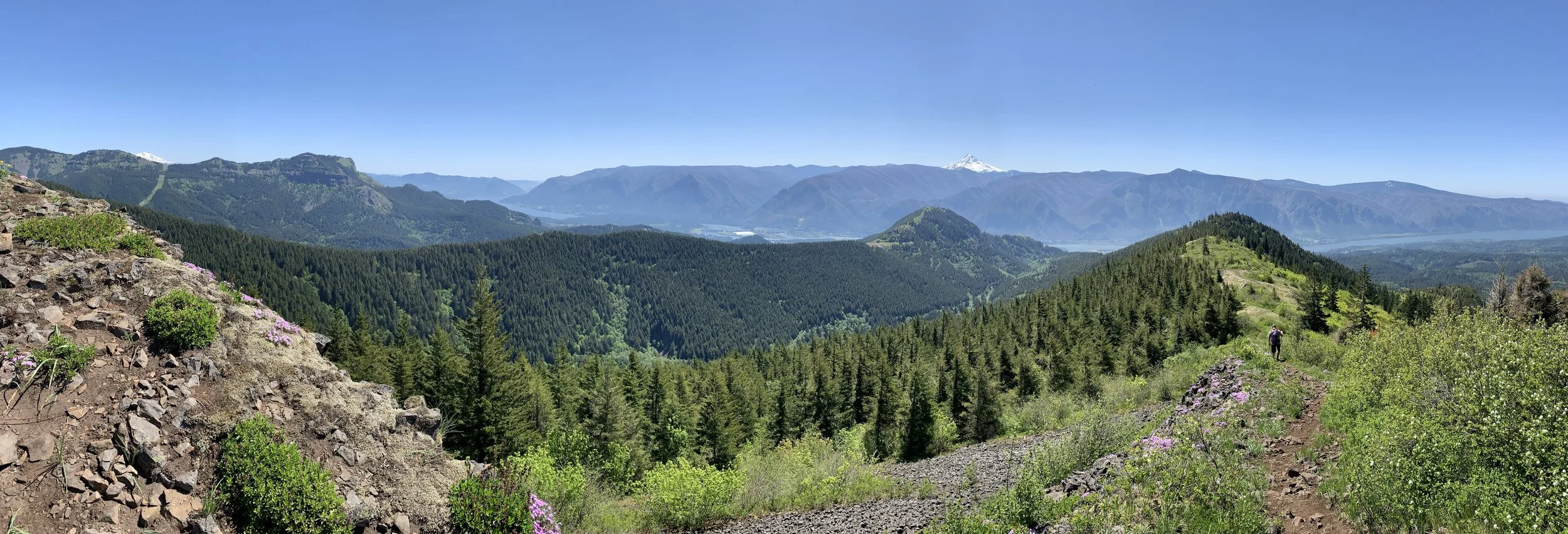
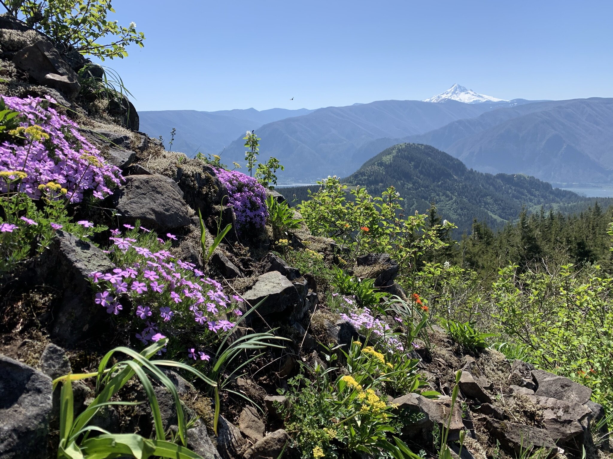
Late spring is prime training time to get ready for the summer’s big climbs and backpacking trips. Over the past month, the team got in some solid miles hiking in the Columbia Gorge, including:
There’s always more training work to be done, but logging trail miles feels better and different than running around the neighborhood or spending time at the gym.
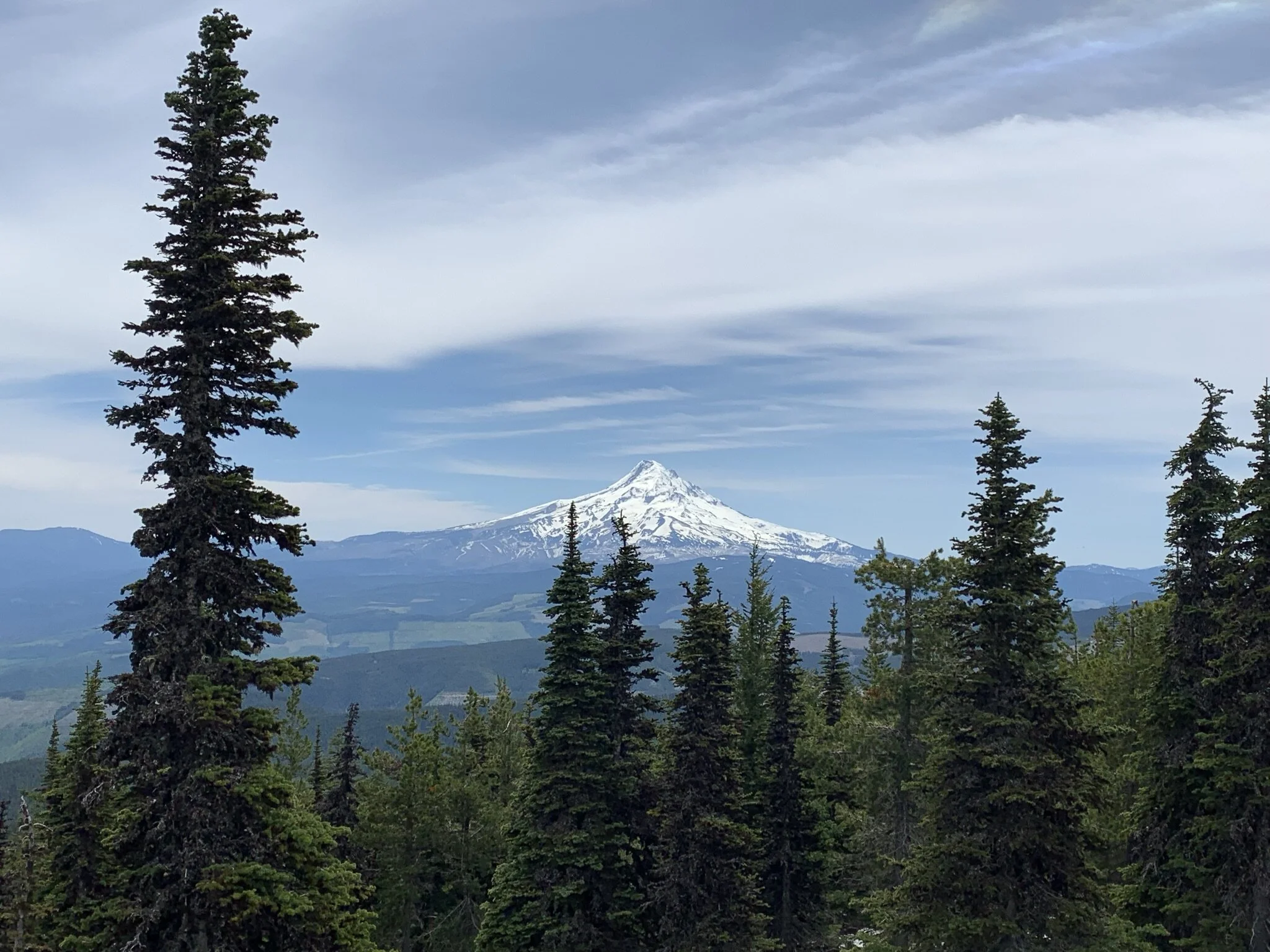
If all goes well, stay tuned in the coming weeks for pictures and stories from Mount St. Helens, Mount McLoughlin, the Goat Rocks Wilderness, and more.
The Pentaquest Team on Nesmith Point.
Happy Thanksgiving! Although the team didn’t hit the trail often, there is much to be thankful for about the year. We found adventure in the Columbia Gorge, the High Sierras, Central Oregon, the Washington Cascades, and beyond. Here are links to photos with the highlights -
Looking forward to a legendary 2023!

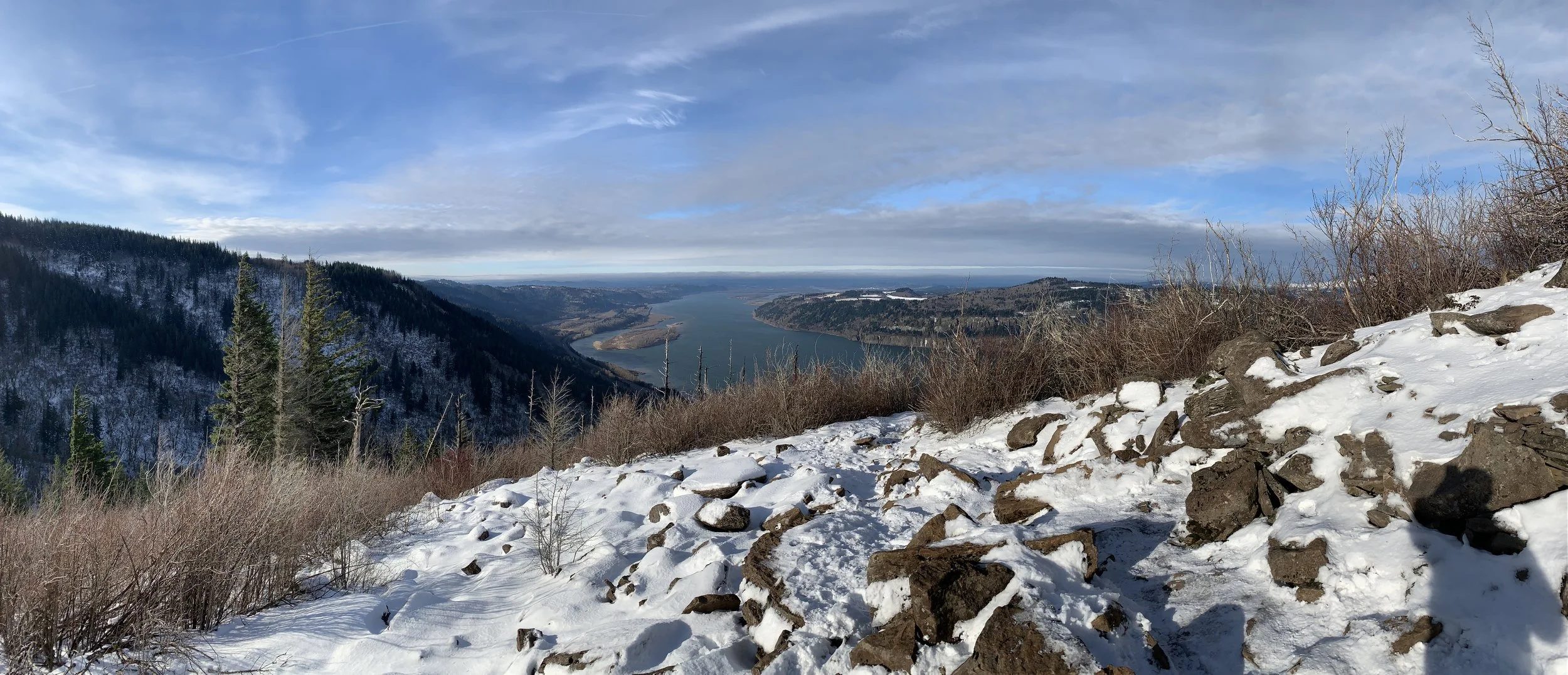
The team hiked Hamilton Mountain in the Columbia Gorge on a perfect January day. Click here to view the photos.

Rodney Falls from the Hamilton Mountain trail.
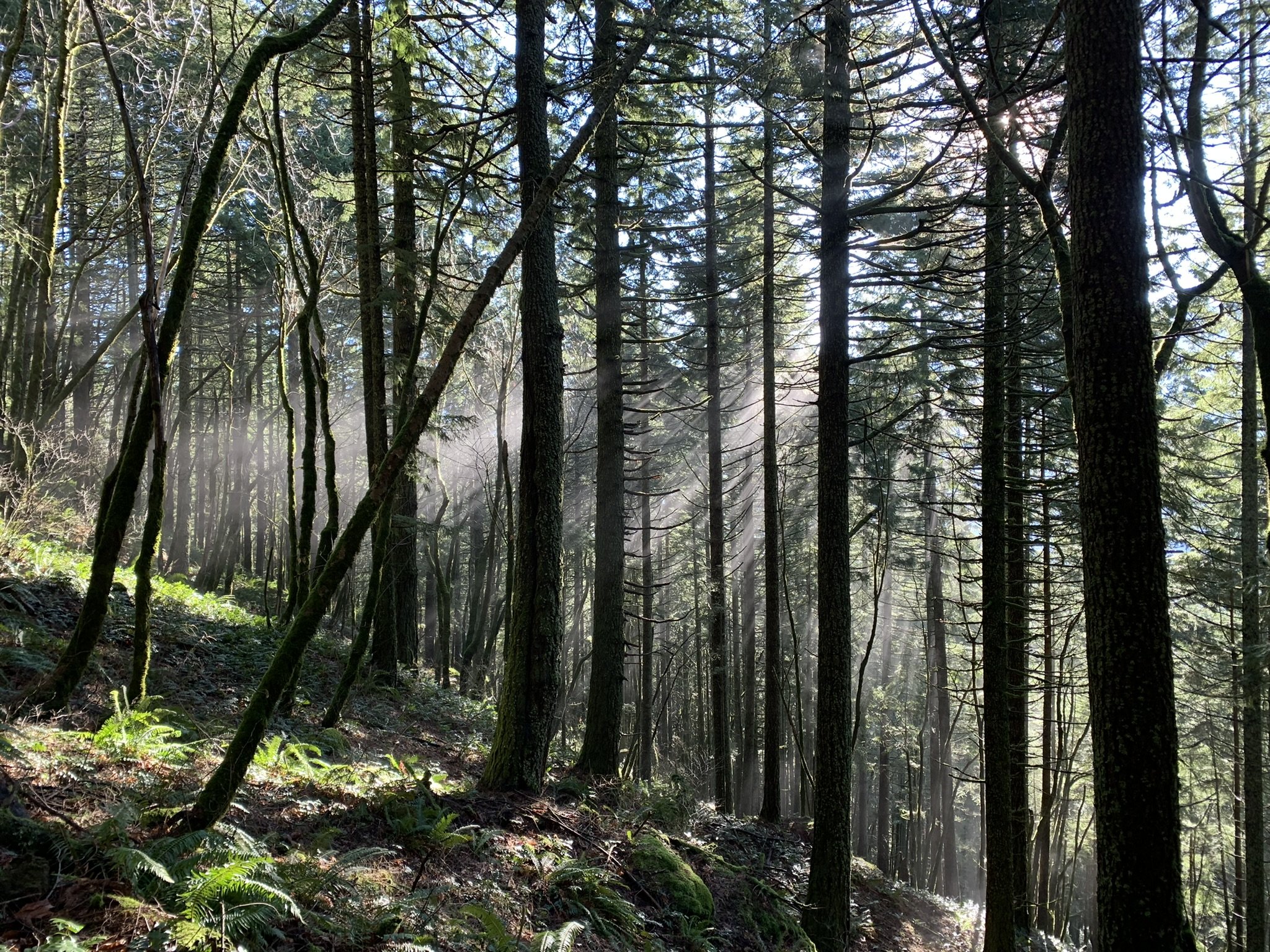
Sun rays through the trees.
Viewpoint below the summit with the Columbia River in the distance.

Another vista below the summit.

Saddle between Little Hamilton and the main Hamilton Mountain.

Summit view with Table Mountain in the distance.

Snow while descending from the summit.
Dog Mountain is arguably the Columbia Gorge’s most popular hike. The spring balsamroot flower show on the mountain’s upper slope is in such demand that it is now a permitted event on weekends April 24 through June 13.
We went up on a cold January day with snow reaching down to the parking lot. Despite early cloud cover, we found sun on the summit. More importantly, we found adventure and solitude.
Click here for photos from the hike.

Sign with one mile to go until the Dog Mountain summit.

The Pentaquest Team standing on the Dog Mountain summit with Mount Hood and Mount Defiance in the background.

Climbers nearing the Dog Mountain summit.
Happy New Year! The team started off 2022 with an ice-cold hike up Angel’s Rest in the Columbia Gorge (Stats: 4.8 miles, 1,540 vertical feet). We hit the trail around 8 a.m. and reached the windy summit before 10.
Click here for more photos from the hike.

The Pentaquest Team at the Angel’s Rest trailhead.
Icy trail close to the summit.
Sunny skies near the summit.

The team standing on a windy Angel’s Rest summit.
On Monday, June 14, 2021 the team made an attempt up Mount St. Helens via the Worm Flow Route. Despite a strong effort, we decided to turn around near 7,000 feet due to rain, wind, and thick clouds.

Looking up at Mount St. Helens from near the treeline.
Here’s a link to photos from the climb.
Group photo near the seismic station.
Mount Defiance is the ultimate Columbia Gorge training hike with 4,500 vertical feet in elevation gain over 12 miles. We hit the trail on Memorial Day weekend to get ready for an upcoming Mount St. Helens climb. Click here for photos from the hike.

Columbia Gorge view after crossing into the Mark O. Hatfield Wilderness.
Today (5/16) we hiked up Hardy Ridge in the Columbia Gorge under perfect conditions. Here’s a link to photos from the hike.
Wildflowers on Hardy Ridge with Hamilton Mountain in the foreground, and the Columbia River and Mount Hood in the distance.
On Friday, April 30, 2021 the team attempted Mount St. Helens via the Worm Flows Route. After camping under clear skies at the trailhead, rain and wind moved in as we started out in the early morning.

The team taking a break near the treeline.
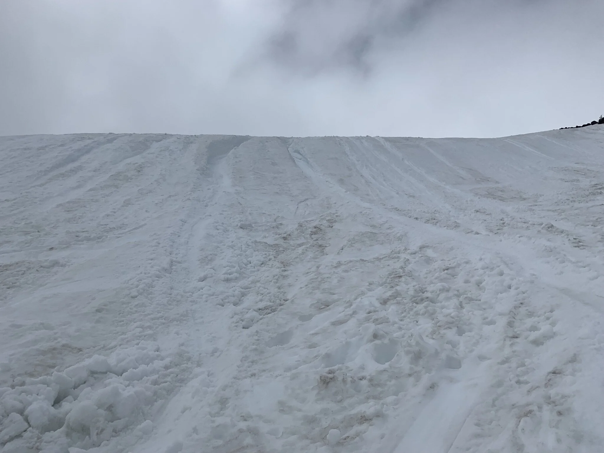
Snow covered the trail almost immediately as we entered the woods from Marble Mountain Sno Park. Using microspikes, we followed a well-established bootpath and quickly moved the 2.5 miles to the treeline. As we gained altitude, the weather slowly became an issue as the wind and rain picked up. We finally decided to turn back around 7,000 feet as conditions deteriorated and routefinding became a challenge.

The location where we decided to turn around.
Despite the inclement weather, we still found time for an epic glissade. The late-April snow was perfect and enabled us to drop elevation in a hurry. We also successfully tested out a new glissade device called the “Alpine Scooty Booty” from the Portland-based NÖR HEX Gear Co.
Glissading below the seismic sensor on the Worm Flows Route.
Click here to view more photos from the climb. And here for a glissade video.
Overall, it was a great day. We didn’t summit, but we found adventure on an active volcano.
Table Mountain is an epic Columbia Gorge hike with over 17 miles and 3,400 vertical feet starting at Bonneville Dam. We hiked Table over 12 hours on April 17, 2021 with perfect conditions. From the summit, five volcanoes were on display (Hood, Jefferson, Adams, St. Helens, and Rainier).
View from Table Mountain’s summit with Mount Hood, Bonneville Dam, and the Columbia River.
Click here to view photos from the hike.
The team hit the trail on Saturday, January 9 for the year’s first training hike up Dog Mountain after an emotionally challenging week that included an insurrection in Washington, D.C. and record daily COVID-19 deaths in the U.S. Although known for its impressive wildflowers in the spring and summer, winter on the Dog is equally rewarding. We were able to find solitude and adventure on a day with almost perfect January weather (no rain and only light wind).

The team heading back to the trailhead.
More photos from the hike are available here.
We hiked to Soda Peaks Lake in Washington’s Trapper Creek Wilderness on Sunday, August 30. Starting from the trailhead near the Government Mineral Springs Campground, the hike totaled about 10 miles round trip and 2,700 vertical feet.
Although the parking lot was full when we left, we encountered few people on the trail. Overall conditions were perfect - blue sky, no bugs, and a pristine wilderness area with old growth trees.
Soda Peaks Lake itself is at the hike’s highest point within a forested mountainous bowl.

Soda Peaks Lake
More photos from our hike are available here.
You may have noticed I’m way behind on posting trip reports and photos from the past few years. I plan to chip away at this in the coming weeks and share what the team has been up to. Our most recent trip was to Mount Adams on August 14-16.

Mount Adams at sunset with Mount St. Helens in the distance.
Here are links to photos from the last month:
We’re heading out Friday (4/26) to climb Mount Logan in Canada's Yukon Territory. Click here for an overview with details about the trip. If all goes well, we’ll be at base camp on the Quintino Sella Glacier starting this Sunday.
Click here to track our group while we’re on the mountain. We’ll turn on our Garmin InReach when we get to base camp and whenever we're moving.
We’ll also post regular updates to Twitter (@Pentaquest) and Facebook.
Our guiding company Mountain Madness will also likely post about the trip.
Looking forward to sharing photos and video with everyone once we get back on the grid.
Mount Logan (left) with Mount St. Elias (right)
Neahkahnie Mountain is arguably the best ocean view hike on the north Oregon Coast. From the high point at 1,631 feet, Manzanita, Nehalem Bay and the Nehalem Spit are all clearly visible.
Click here for more photos from the hike.

Sign at the Neahkahnie’s north trailhead.
We hiked on a nice sunny day over Labor Day weekend. Starting from the north trailhead along US 101, we climbed up the switchbacks zigzagging up Neahkahnie’s western side. At first we could still see and hear the ocean, but soon were fully in the coastal forest.

Ocean view just above US 101.
After a few miles, the trail leveled out and traversed the mountain’s ridgeline. We continued on and soon reached the classic viewpoint overlooking Nehalem Bay.

Viewpoint overlooking the Nehalem Spit.
For the descent, we decided to continue on to the east and complete a loop by trail running downhill to the south trailhead. Upon reaching the road, we then ran along US 101’s shoulder for over a mile to reach where we parked the car.

Running along US 101 to get back to the car.
Overall Neahkahnie is a fun hike with enough vertical to be interesting, some rock exposure at the view point, and easy options for adding or subtracting mileage. My only recommendation is to go on a dry day if at all possible.
You can’t go wrong on Dog Mountain (2,948 feet) in the Columbia Gorge on a cool, hazy Saturday in August. And if you can only find one friend to go with you? No problem.

Difficult vs. More Difficult (spoiler alert: it’s all difficult)
Click here for more photos from the hike.
We left Portland early and hit the trail by 9 am. After going up the initial switchbacks, we opted for the “more difficult” path. This challenging option shaves off some mileage by going straight up the Dog.

Haze above the treeline.
The haze persisted above the treeline, blocking our view except for the trail and some balsamroot remnants left over from the spring floral show. Even Wind Mountain near the Columbia remained invisible. But then everything changed on the summit. As we started our descent, Mother Nature lifted the blanket and the river and mountains came into view.

The haze starts to lift! Wind Mountain is on the right.
We hurried back to the trailhead and were back on the road close to noon. On the way home, we stopped in Stevenson and discovered The Cabin Drive-Thru’s frozen custard.

Conditions look even better by the river.
North Cascades National Park is an alpine wonderland tucked against Washington state’s border with Canada. The park isn’t known for an iconic postcard-worthy vista…by car. But a bucolic world unlike anything else in Cascadia awaits anyone able to hike a few hours into the wilderness. In August, we arranged for a trip through Timberline Mountain Guides to climb Mount Shuksan (9,131 feet).
Although less prominent than nearby Mount Baker, Shuksan is considered by some to be the most photogenic mountain in the Pacific Northwest. The peak is only accessible through a long approach and is typically climbed over two or three days.

Mount Shuksan from high camp on the Sulphide Glacier.
Click here and here to view more photos from the trip.
We opted to approach Shuksan via the Sulphide Glacier route on the mountain’s south side. On August 9, our team rendezvoused at the ranger station in Sedro Wooley, WA and caravanned to the trailhead near Baker Lake. A slight wildfire haze filled the air, but otherwise the skies remained clear and blue. After a quick gear check, we left our vehicles and headed up into the forest. The trail gradually climbed through old growth trees and switchbacked up Shannon Ridge. After a few hours we started to see Baker and other glaciated North Cascades peaks in the distance.

Our team with Mount Baker in the distance from Shannon Ridge.
Once on Shannon Ridge, the terrain opened up with more views as the trail steepened. We eventually reached a snowfield and set up camp at the Sulphide Glacier’s edge in an established site with some wind protection. Epic is an overused word in climbing trip reports. But it’s the only word appropriate to describe the area surrounding our alpine high camp. Shuksan’s summit pyramid dominated the skyline above us, with thousand foot-plus waterfalls across a valley from us, and the elusive Pickett Range in the distance. While dining on Caesar salad mix from a bag (surprisingly excellent after being chilled in a snow refrigerator), tuna-enhanced Indian food, and Irish Whiskey, we solved the world’s problems and planned our ascent for the next day. It’s also worth mentioning we had access to a Forest Service -maintained alpine toilet about 100 feet below our camp.

Our camp with the Pickett Range in the distance to the left.
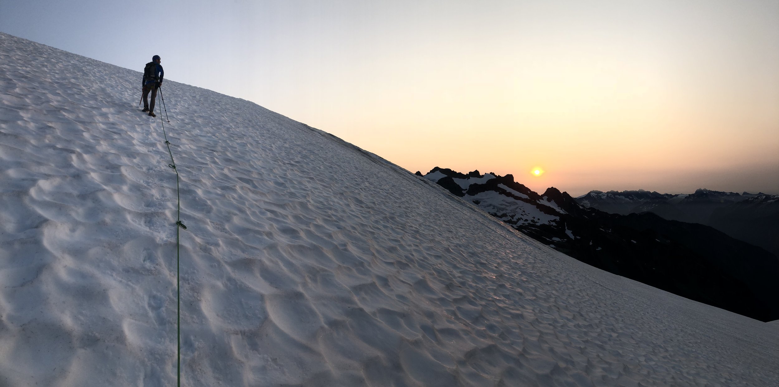
Even after the sun went down, the temperature stayed surprisingly warm. Most in the team slept under the stars without a tent. We woke up before sunrise, made breakfast, and gathered up our gear. Unlike the first day, we wore crampons and roped up directly from camp as we walked up the Sulphide Glacier in two, two-person teams.

Our team leaving camp and heading up the Sulphide Glacier.
During the night, the wildfire haze dropped to the valley floor below us. As the sun came up, the haze started to rise and filtered the day’s early light. After a few hours climbing up the glacier, we reached Shuksan’s summit pyramid.
Sunrise on the Sulphide Glacier.

Approaching Shuksan’s summit pyramid.
The final 600 feet involved rock climbing on belay up to the top. Using caution, our two teams safely found routes up the pyramid with our guides leading the way. We then celebrated on the top, rappelled down the pyramid, and made excellent time on the glacier back to camp. Originally we hoped to spend an extra day before descending, but a rainstorm in the forecast pushed us to return the same day.

Rappelling down from the summit.
The hike out was uneventful as we retraced our steps from day one. By mid-afternoon we were back at the trailhead and on the road to civilization.