
On June 23, 2018 after halting an attempt up Mt. Shasta's Clear Creek route due to high winds, we hiked Black Butte (five miles, 1,900 vertical feet) near Mount Shasta, CA. Although not the same challenge as a 14,000 foot glaciated volcano, Black Butte proved to be a rewarding alternate with incredible views.
Click here to view more photos from the hike.

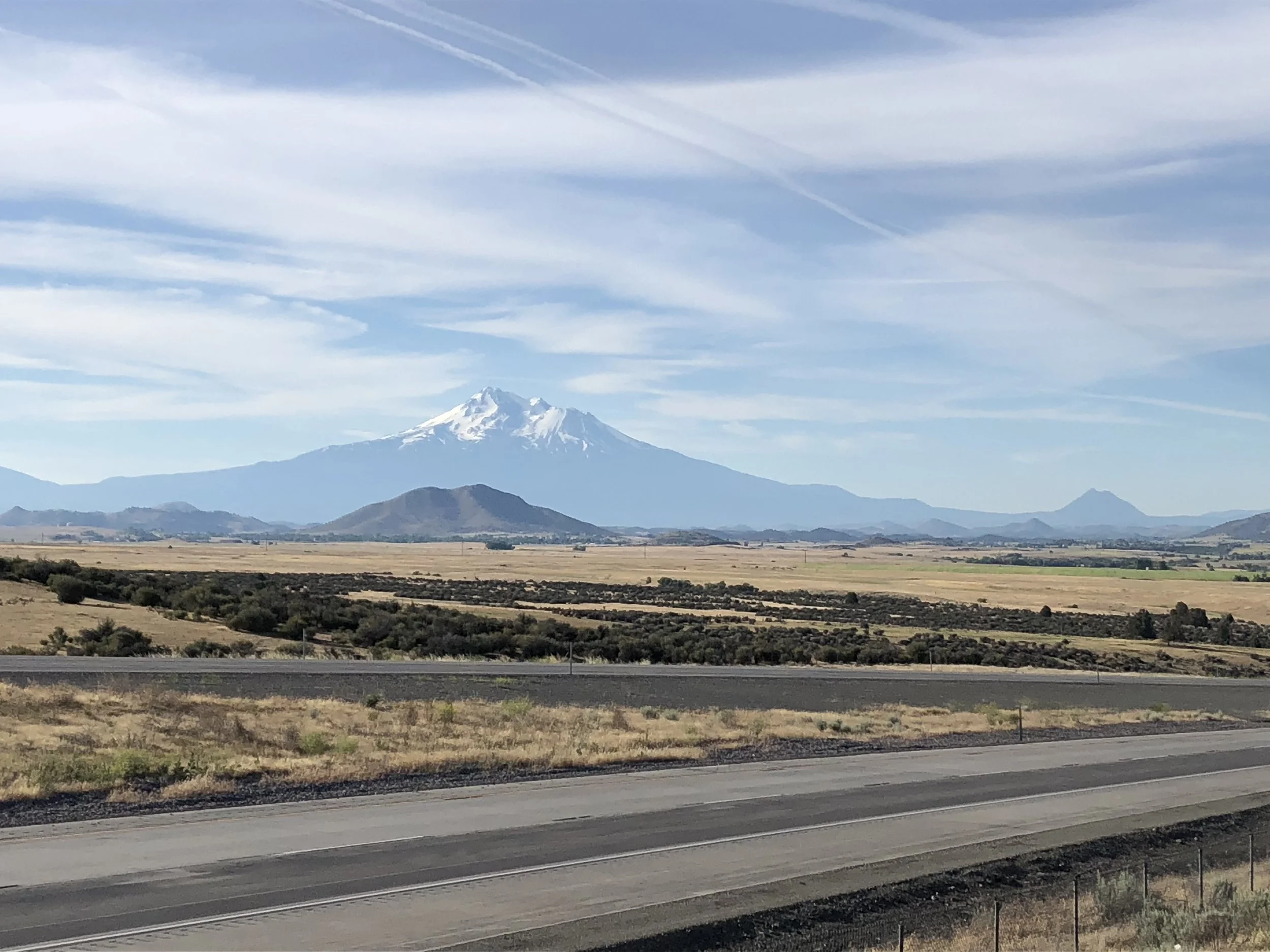
Mt. Shasta from the trail up Black Butte.
We ate breakfast at the original Black Bear Diner in town before driving to the trailhead. An almost empty parking area ensured we wouldn't see many hikers on the mountain. Black Butte is an imposing feature from I-5, but a gentle giant from the trail. The path maintains a steady grade as it circles around and switches back and forth up the mountain.
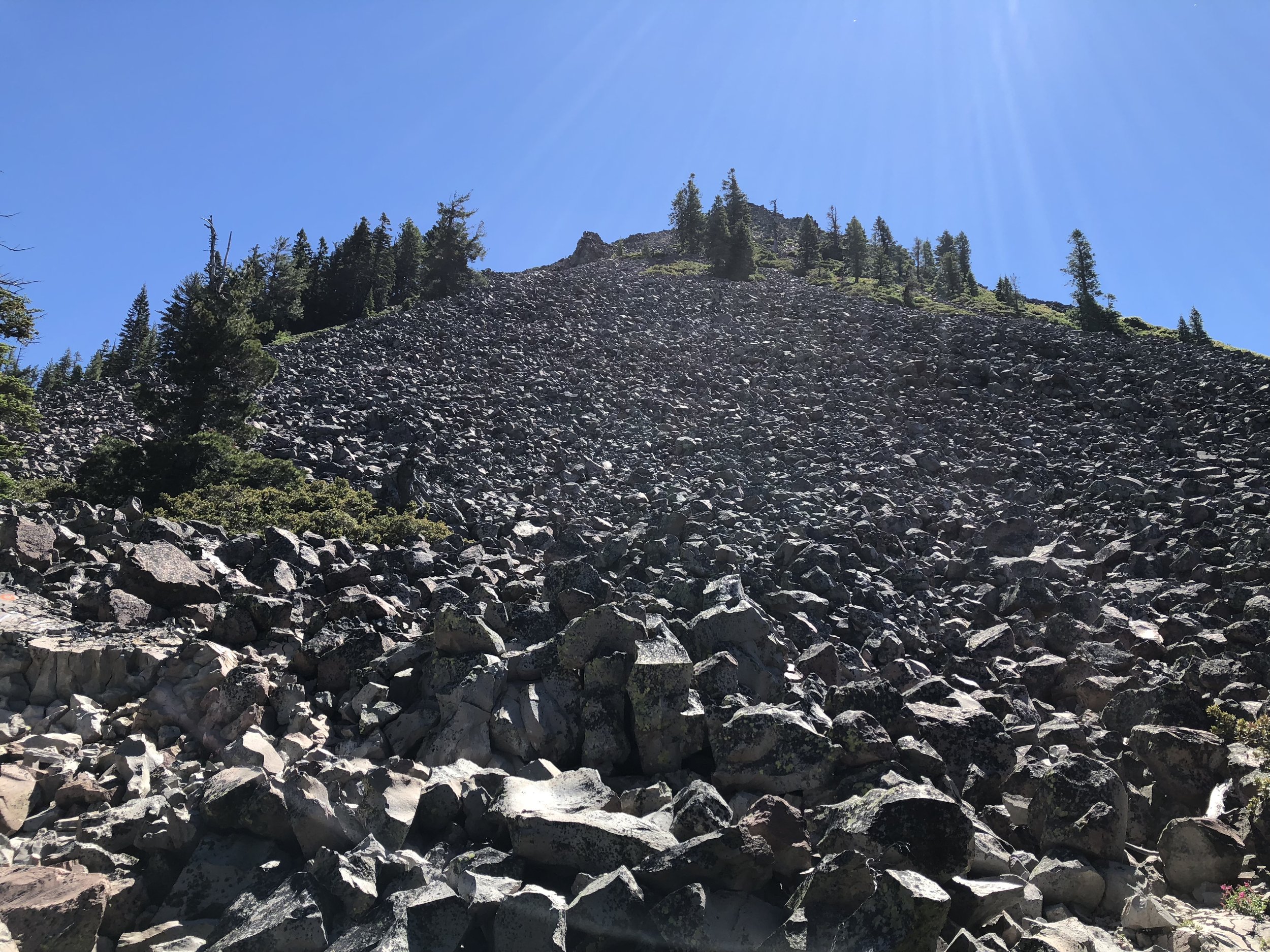
Scree!
We started fast and only paused a few times before reaching the top. To speed up the hike, we each left our packs in the car and only brought a water bottle and trekking poles.

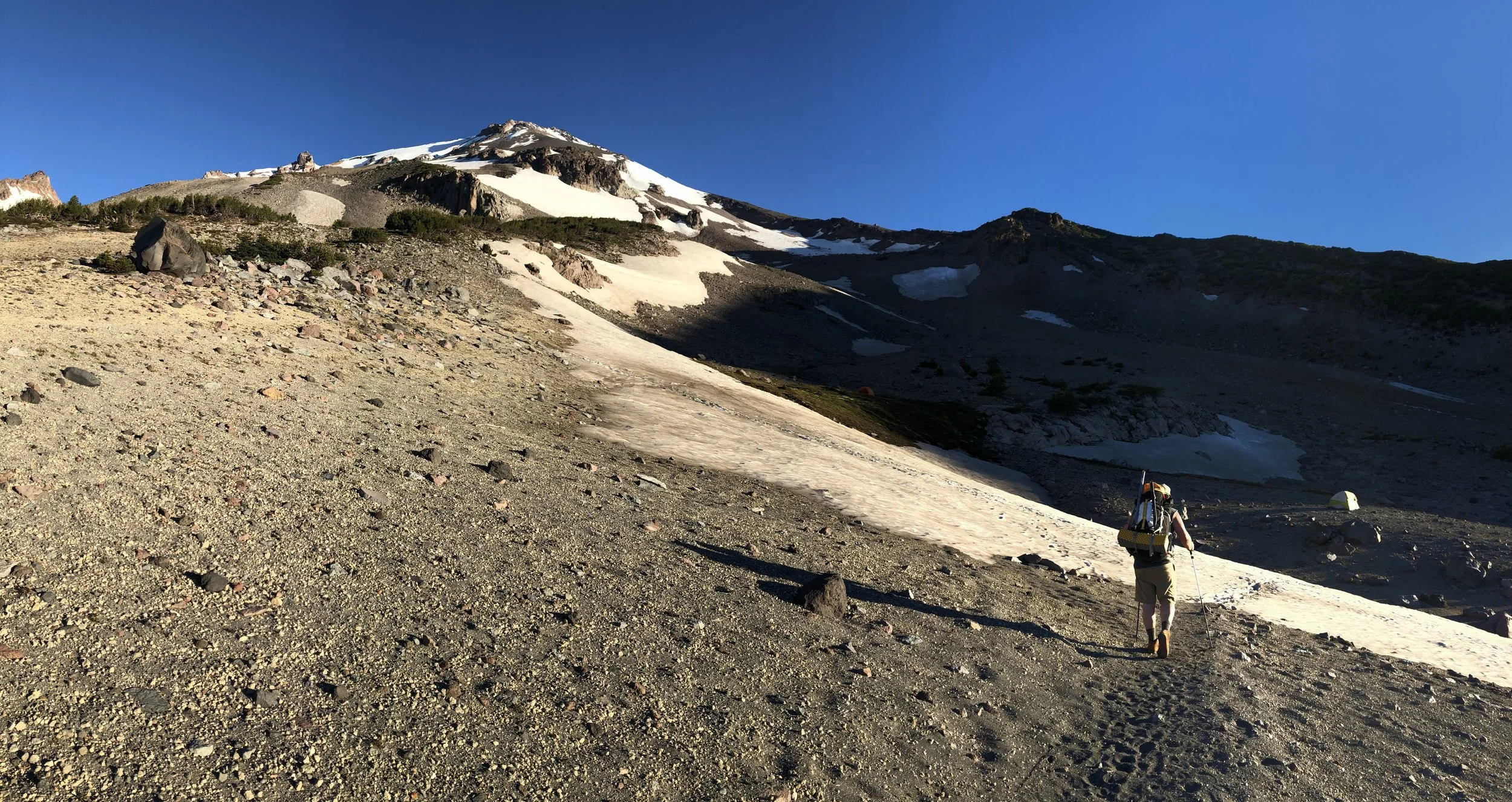
Nearing the top with Mt. Shasta in the distance.
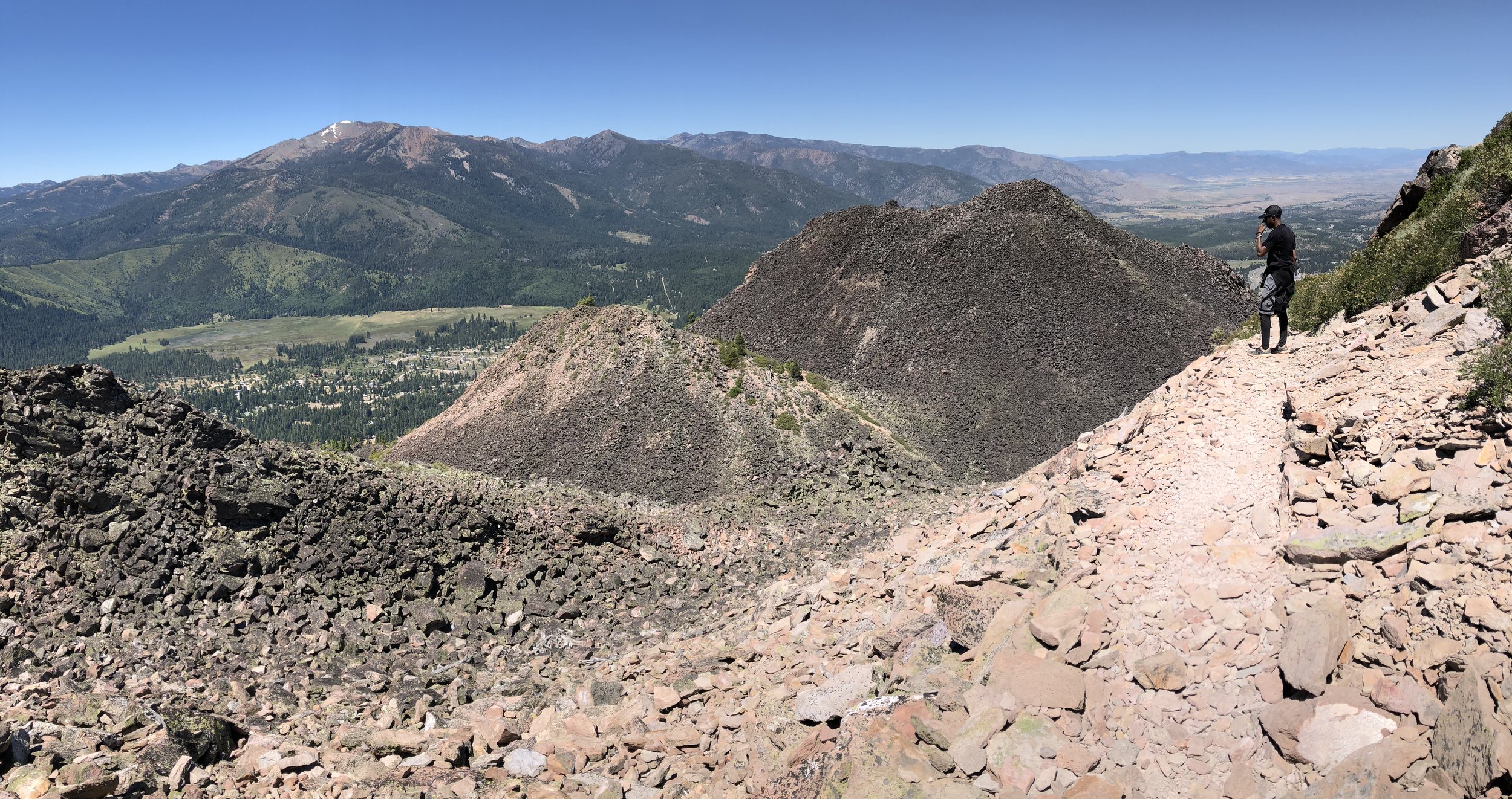
At the summit, a full 360-degree panorama without clouds brought everything into view from Mt. McLoughlin in the north to Lassen Peak in the south with Mt. Shasta and Mt. Eddy to the east and west.

Black Butte summit view.
We didn't linger long before rapidly descending. By the time we reached the car, less than three hours had passed since we first left the trailhead.
Descending Black Butte.
Key takeaway: watch out for snakes. We stopped at a mini-mart for a drink before leaving Mount Shasta. When the checker found out where we'd been, she asked if we saw any snakes. Thankfully we hadn't (but we weren't looking for them). Next time we'll pay more attention.