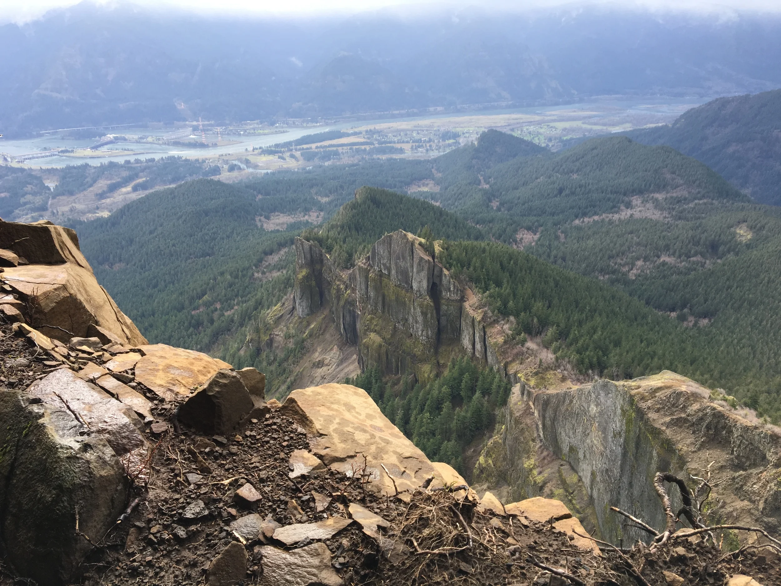


Neahkahnie Mountain is arguably the best ocean view hike on the north Oregon Coast. From the high point at 1,631 feet, Manzanita, Nehalem Bay and the Nehalem Spit are all clearly visible.
Click here for more photos from the hike.

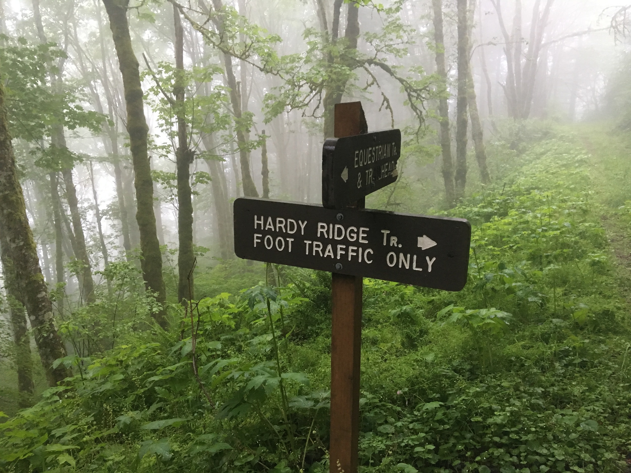
Sign at the Neahkahnie’s north trailhead.
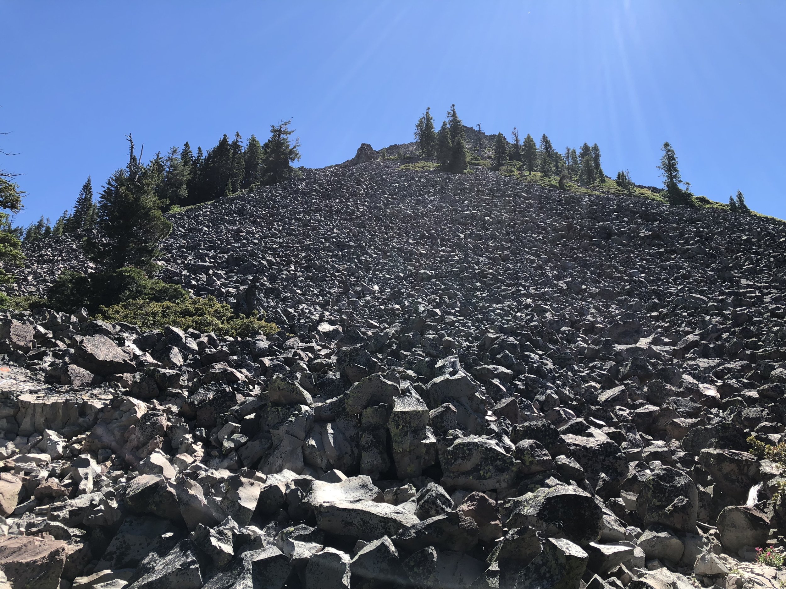
We hiked on a nice sunny day over Labor Day weekend. Starting from the north trailhead along US 101, we climbed up the switchbacks zigzagging up Neahkahnie’s western side. At first we could still see and hear the ocean, but soon were fully in the coastal forest.

Ocean view just above US 101.
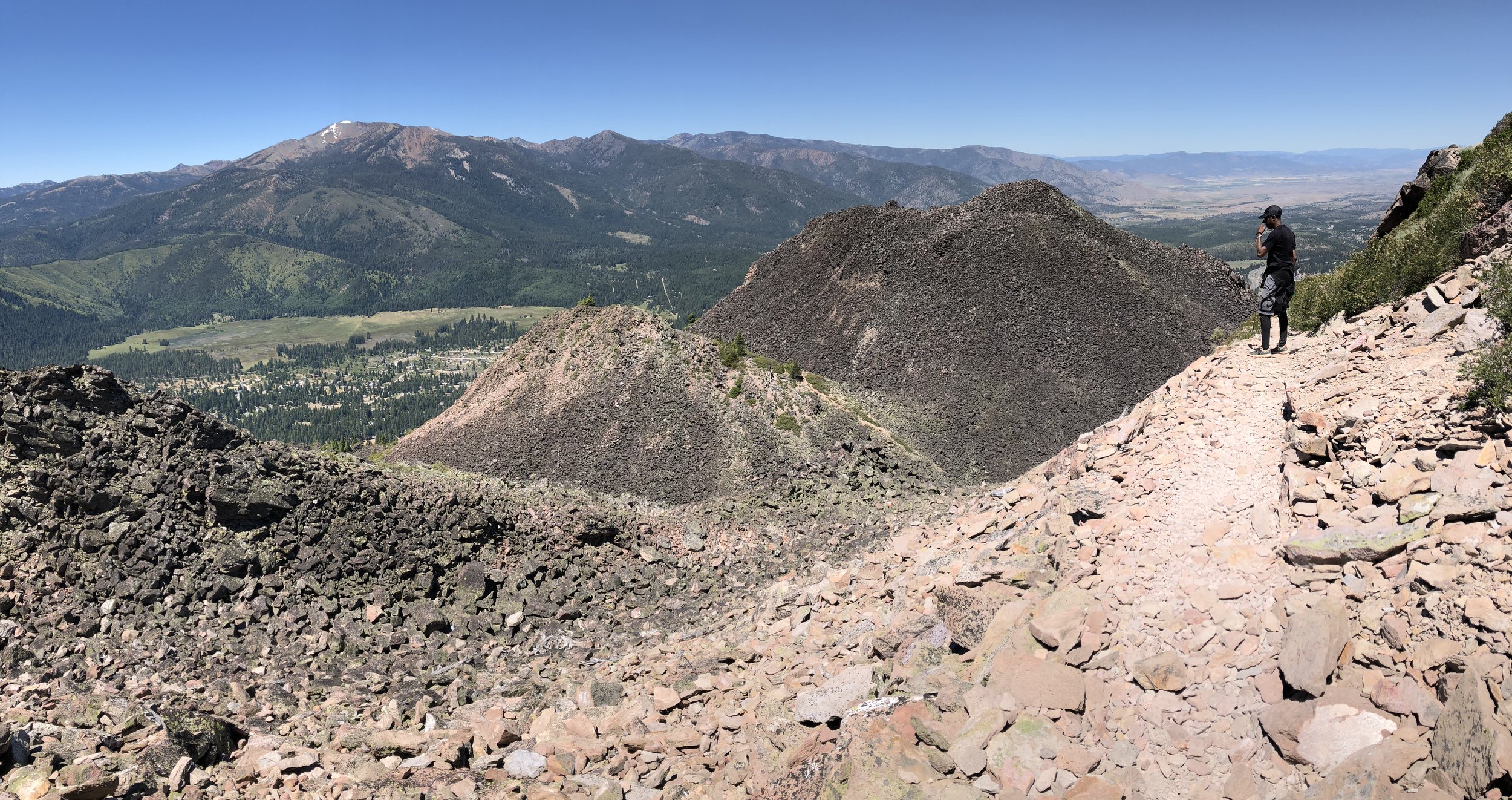
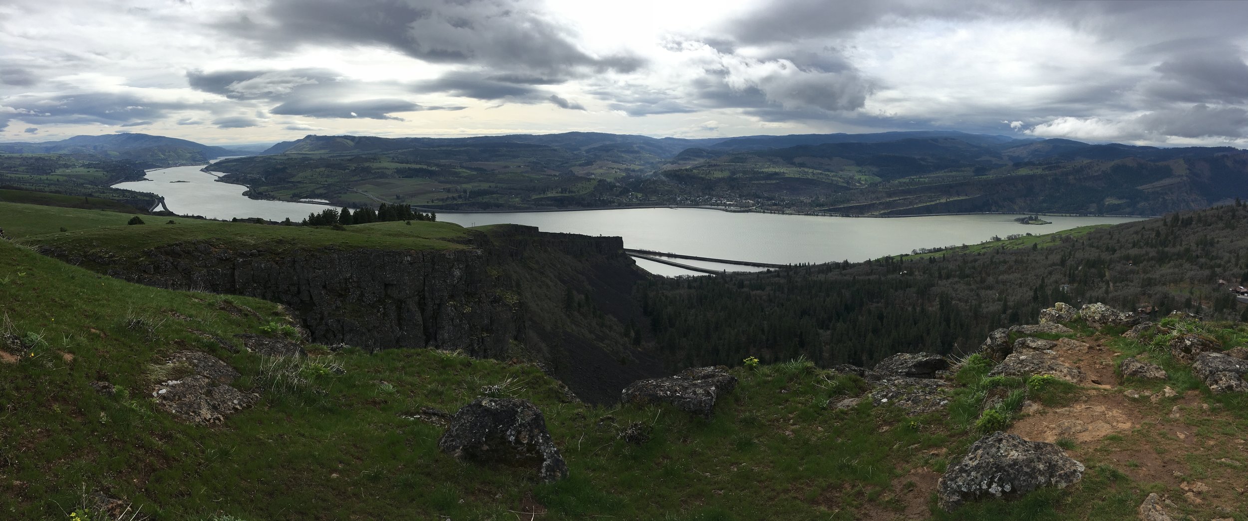
After a few miles, the trail leveled out and traversed the mountain’s ridgeline. We continued on and soon reached the classic viewpoint overlooking Nehalem Bay.

Viewpoint overlooking the Nehalem Spit.
For the descent, we decided to continue on to the east and complete a loop by trail running downhill to the south trailhead. Upon reaching the road, we then ran along US 101’s shoulder for over a mile to reach where we parked the car.

Running along US 101 to get back to the car.
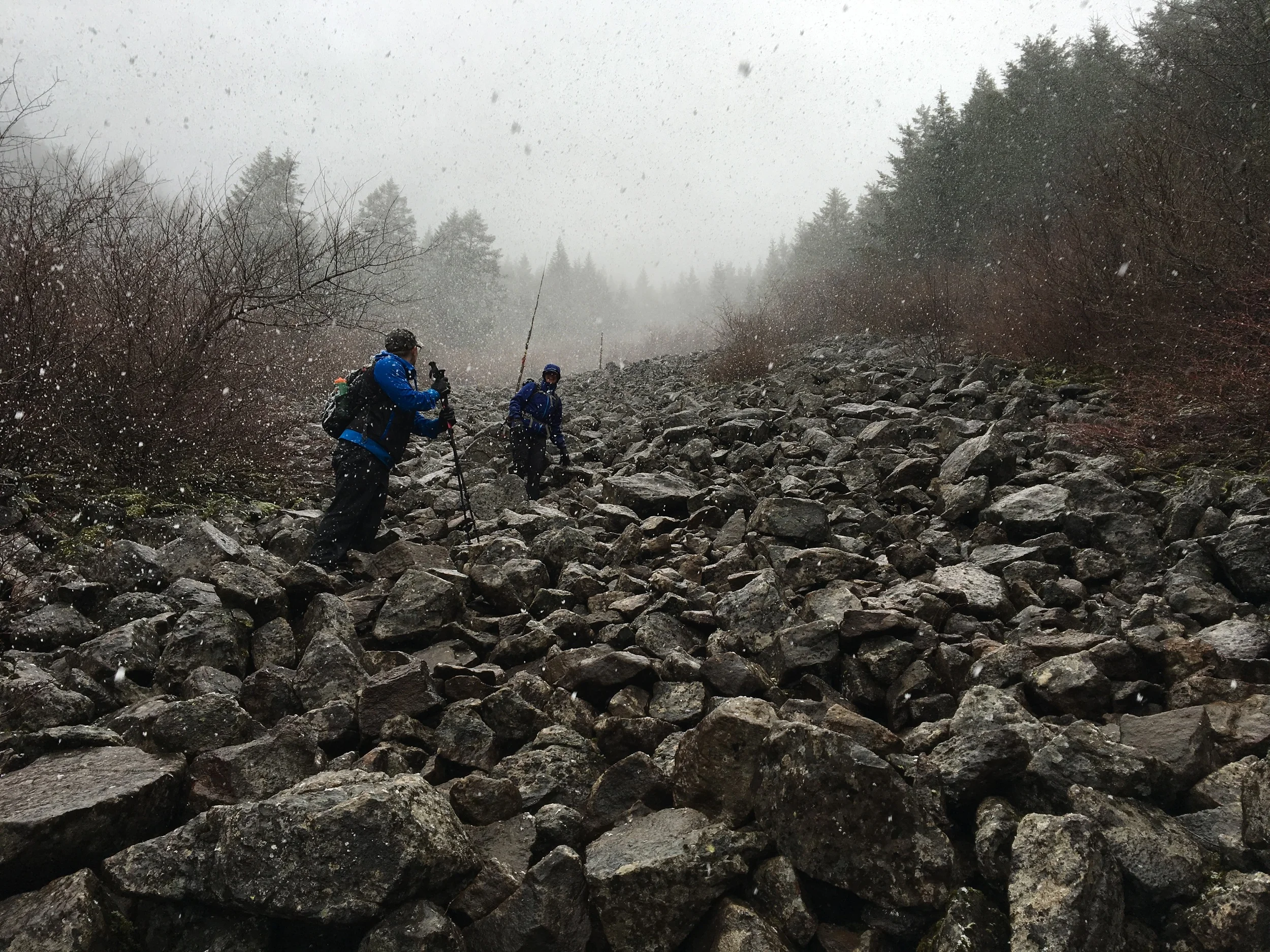
Overall Neahkahnie is a fun hike with enough vertical to be interesting, some rock exposure at the view point, and easy options for adding or subtracting mileage. My only recommendation is to go on a dry day if at all possible.