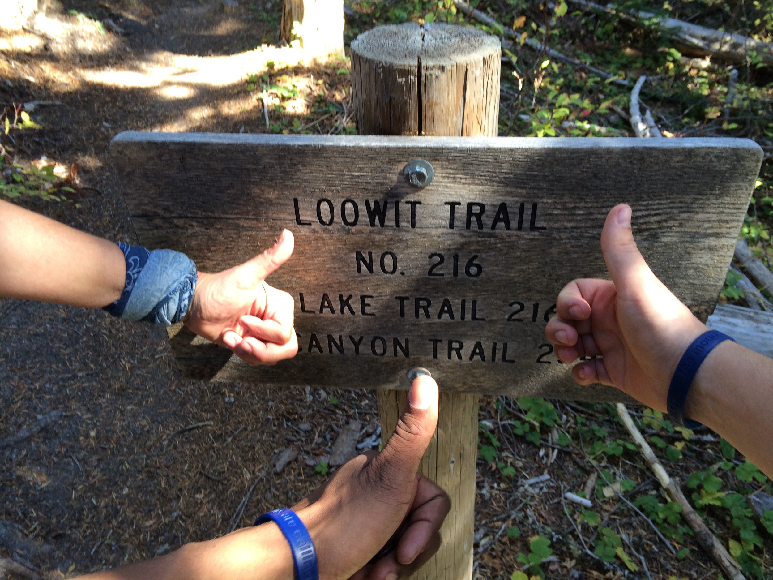
Last weekend (10/3 and 10/4) two friends joined me on a clockwise circumnavigation of the Loowit Trail around Mt. St. Helens. We pushed ourselves hard, covering 32 miles over the two days. Starting at Climbers Bivouac on the south side of the mountain, we traveled about 20 miles on the first day, camped on the Plains of Abraham near Windy Pass, and finished the final 12 miles of the circuit by mid-afternoon on Sunday. I plan to do a full write-up later on the journey. In the meantime, here are the photos.

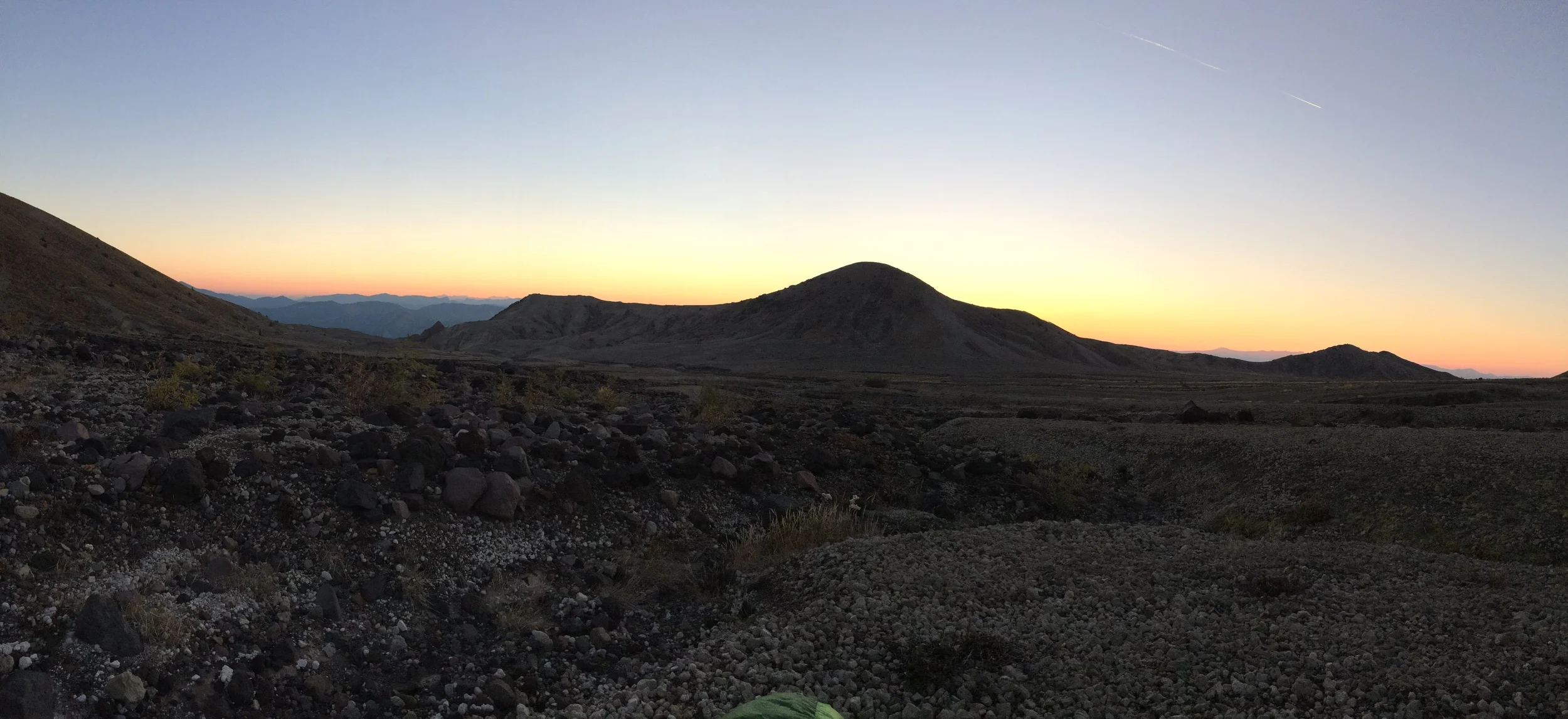
Mt. St. Helens and the Loowit Trail above the South Fork Toutle River on the western edge of the blast zone.